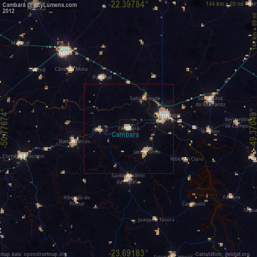
Cambará night lights from space
Night Light of Cambará (Paraná) from space (Brazil) Src. Average luminocity for 10x10km area is 18.8591% and for 50x50km: 6.047%.
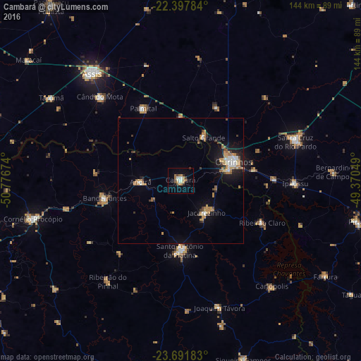
Analysis of Cambará night lights 2016
Square area 10x10 km:
 2.38%
2.38%90-99
2.58%80-89
1.59%70-79
4.56%60-69
3.77%50-59
0.79%40-49
2.98%30-39
1.39%20-29
0.99%10-19
5.56%0-9
73.41%Square area 50x50 km:
0.62%90-99
0.7%80-89
0.46%70-79
1.38%60-69
1.21%50-59
0.33%40-49
0.82%30-39
0.59%20-29
0.93%10-19
3.57%0-9
89.38%Clear (daylight) street map image can be seen on geolist.org.
Map coordinates:
22° 23' 52.2" South, 50° 46' 36.3" West
23° 2' 47" South, 50° 4' 25" West
23° 41' 30.6" South, 49° 22' 13.8" West
Some cities around Cambará sort by population:
• Ourinhos
22.1 km =13.7 mi,  70°
70°
• Santo Antônio da Platina
27.6 km =17.1 mi,  180°
180°
• Jacarezinho
16.6 km =10.3 mi,  139°
139°
• Bandeirantes
30.9 km =19.2 mi,  256°
256°
• Cândido Mota
46.3 km =28.8 mi,  316°
316°
• Palmital
32.2 km =20 mi,  332°
332°
• Ipauçu
45.8 km =28.5 mi,  91°
91°
• Chavantes
37.3 km =23.2 mi, 88°
3467985 (p: 21,380)
Sources (retrieved 2019-11-25):
» Earth at Night: Flat Maps 2012, 2016