Cornélio Procópio night lights from space
Night Light of Cornélio Procópio (Paraná) from space (Brazil) Src. Average luminocity for 10x10km area is 25.0568% and for 50x50km: 2.9512%.
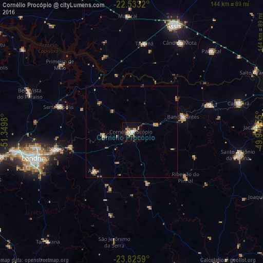
Analysis of Cornélio Procópio night lights 2016
Square area 10x10 km:
 2.08%
2.08%90-99
5.49%80-89
2.08%70-79
5.87%60-69
3.22%50-59
2.84%40-49
1.7%30-39
2.27%20-29
1.7%10-19
24.62%0-9
48.11%Square area 50x50 km:
0.13%90-99
0.35%80-89
0.23%70-79
0.78%60-69
0.6%50-59
0.38%40-49
0.24%30-39
0.53%20-29
0.38%10-19
1.26%0-9
95.13%Clear (daylight) street map image can be seen on geolist.org.
Map coordinates:
22° 31' 59.5" South, 51° 20' 59.3" West
23° 10' 52" South, 50° 38' 48" West
23° 49' 33.2" South, 49° 56' 36.8" West
Some cities around Cornélio Procópio sort by population:
• Londrina
54.6 km =33.9 mi,  254°
254°
• Ibiporã
42.2 km =26.2 mi,  256°
256°
• Bandeirantes
29.6 km =18.4 mi,  74°
74°
• Cândido Mota
55.2 km =34.3 mi,  28°
28°
• Sertanópolis
42.1 km =26.2 mi,  288°
288°
• Assaí
29.2 km =18.1 mi,  222°
222°
• Tarumã
48.8 km =30.3 mi,  8°
8°
• Jataizinho
35 km =21.7 mi, 256°
3465508 (p: 48,487)
Sources (retrieved 2019-11-25):
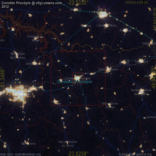
» Earth at Night: Flat Maps 2012, 2016