Assis night lights from space
Night Light of Assis (São Paulo) from space (Brazil) Src. Average luminocity for 10x10km area is 47.7817% and for 50x50km: 4.8724%.
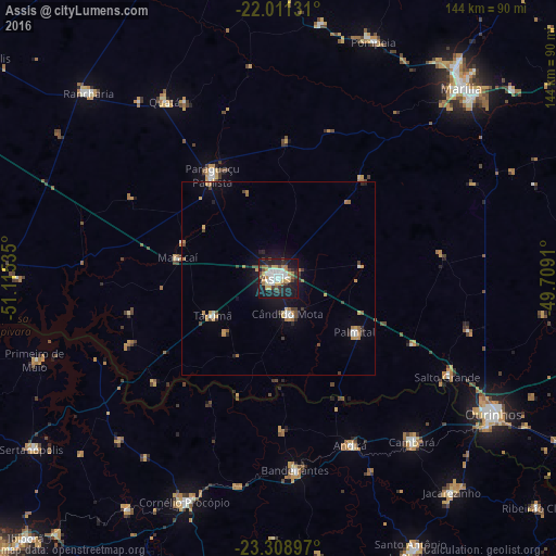
Analysis of Assis night lights 2016
Square area 10x10 km:
 10.52%
90-99
10.71%80-89
1.98%70-79
8.73%60-69
6.35%50-59
2.78%40-49
5.75%30-39
6.75%20-29
12.9%10-19
32.54%0-9
0.99%Square area 50x50 km:
0.63%90-99
0.64%80-89
0.23%70-79
1.05%60-69
0.75%50-59
0.26%40-49
0.56%30-39
0.77%20-29
0.93%10-19
3.61%0-9
90.57%Clear (daylight) street map image can be seen on geolist.org.
Map coordinates:
22° 0' 40.7" South, 51° 6' 55.3" West
22° 39' 42" South, 50° 24' 44" West
23° 18' 32.3" South, 49° 42' 32.8" West
Some cities around Assis sort by population:
• Paraguaçu Paulista
32.4 km =20.1 mi,  328°
328°
• Bandeirantes
50.1 km =31.1 mi,  174°
174°
• Cândido Mota
9.8 km =6.1 mi,  164°
164°
• Cambará
55.1 km =34.2 mi,  140°
140°
• Palmital
24.5 km =15.2 mi,  125°
125°
• Maracaí
26.8 km =16.7 mi,  282°
282°
• Quatá
54.6 km =33.9 mi, 327°
• Tarumã
19.4 km =12.1 mi,  240°
240°
3471374 (p: 101,597)
Sources (retrieved 2019-11-25):
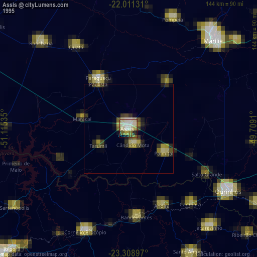
» NASA, Earths city lights 1995
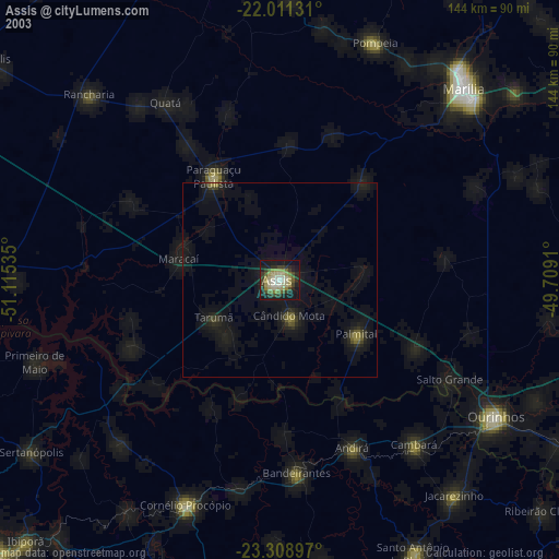
» NASA city lights 2003
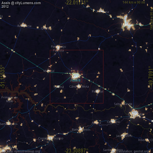
» Earth at Night: Flat Maps 2012, 2016