Miguel Calmon night lights from space
Night Light of Miguel Calmon (Bahia) from space (Brazil) Src. Average luminocity for 10x10km area is 7.9394% and for 50x50km: 0.761%.
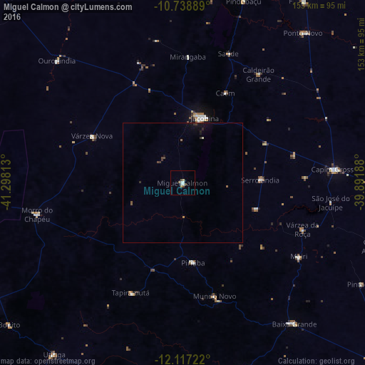
Analysis of Miguel Calmon night lights 2016
Square area 10x10 km:
 1.73%
1.73%90-99
1.73%80-89
1.3%70-79
0.43%60-69
0%50-59
2.16%40-49
1.3%30-39
0%20-29
0%10-19
0%0-9
91.34%Square area 50x50 km:
0.07%90-99
0.1%80-89
0.05%70-79
0.04%60-69
0.08%50-59
0.15%40-49
0.15%30-39
0.17%20-29
0.1%10-19
0.46%0-9
98.62%Clear (daylight) street map image can be seen on geolist.org.
Map coordinates:
10° 44' 20" South, 41° 17' 53.3" West
11° 25' 44" South, 40° 35' 42" West
12° 7' 2" South, 39° 53' 30.8" West
Some cities around Miguel Calmon sort by population:
• Jacobina
28.9 km =18 mi,  17°
17°
• Morro do Chapéu
62.8 km =39 mi,  257°
257°
• Capim Grosso
63.7 km =39.6 mi,  85°
85°
• Tapiramutá
51.2 km =31.8 mi,  204°
204°
• Piritiba
33.8 km =21 mi,  172°
172°
• Mairi
57.9 km =36 mi,  122°
122°
• Mundo Novo
49.6 km =30.8 mi,  164°
164°
• Baixa Grande
75.1 km =46.7 mi,  141°
141°
3457202 (p: 13,747)
Sources (retrieved 2019-11-25):
» Earth at Night: Flat Maps 2012, 2016