Capim Grosso night lights from space
Night Light of Capim Grosso (Bahia) from space (Brazil) Src. Average luminocity for 10x10km area is 16.4589% and for 50x50km: 1.4295%.
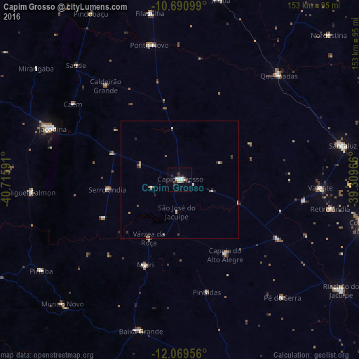
Analysis of Capim Grosso night lights 2016
Square area 10x10 km:
 3.68%
3.68%90-99
2.38%80-89
1.73%70-79
1.73%60-69
0%50-59
0.87%40-49
3.46%30-39
2.16%20-29
5.41%10-19
2.6%0-9
75.97%Square area 50x50 km:
0.19%90-99
0.24%80-89
0.15%70-79
0.17%60-69
0.03%50-59
0.33%40-49
0.28%30-39
0.16%20-29
0.44%10-19
0.15%0-9
97.85%Clear (daylight) street map image can be seen on geolist.org.
Map coordinates:
10° 41' 27.6" South, 40° 42' 57.3" West
11° 22' 52" South, 40° 0' 46" West
12° 4' 10.4" South, 39° 18' 34.8" West
Some cities around Capim Grosso sort by population:
• Jacobina
59 km =36.7 mi,  292°
292°
• Piritiba
70.7 km =43.9 mi,  236°
236°
• Miguel Calmon
63.7 km =39.6 mi,  265°
265°
• Mairi
39.6 km =24.6 mi,  201°
201°
• Valente
60.1 km =37.3 mi,  93°
93°
• Queimadas
61.5 km =38.2 mi,  43°
43°
• Baixa Grande
66.5 km =41.3 mi,  194°
194°
• Ponto Novo
59.1 km =36.7 mi,  347°
347°
3467272 (p: 17,322)
Sources (retrieved 2019-11-25):
» Earth at Night: Flat Maps 2012, 2016