Formiga night lights from space
Night Light of Formiga (Minas Gerais) from space (Brazil) Src. Average luminocity for 10x10km area is 27.9053% and for 50x50km: 3.6386%.
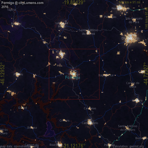

Analysis of Formiga night lights 2016
Square area 10x10 km:
 1.52%
1.52%90-99
1.52%80-89
3.03%70-79
10.23%60-69
7.01%50-59
3.22%40-49
2.27%30-39
3.98%20-29
2.08%10-19
27.65%0-9
37.5%Square area 50x50 km:
0.2%90-99
0.24%80-89
0.29%70-79
1.08%60-69
0.73%50-59
0.28%40-49
0.59%30-39
0.49%20-29
0.56%10-19
2.79%0-9
92.75%Clear (daylight) street map image can be seen on geolist.org.
Map coordinates:
19° 48' 15.4" South, 46° 7' 46.3" West
20° 27' 52" South, 45° 25' 35" West
21° 7' 18.3" South, 44° 43' 23.8" West
Some cities around Formiga sort by population:
• Divinópolis
66.3 km =41.2 mi,  57°
57°
• Campo Belo
50.6 km =31.4 mi,  162°
162°
• Lagoa da Prata
50.6 km =31.4 mi,  346°
346°
• Oliveira
67.5 km =41.9 mi,  112°
112°
• Arcos
23.5 km =14.6 mi,  329°
329°
• Piuí
55.4 km =34.4 mi,  269°
269°
• Santo Antônio do Monte
44.2 km =27.5 mi,  18°
18°
• Itapecerica
31.4 km =19.5 mi,  91°
91°
3463174 (p: 56,404)
Sources (retrieved 2019-11-25):
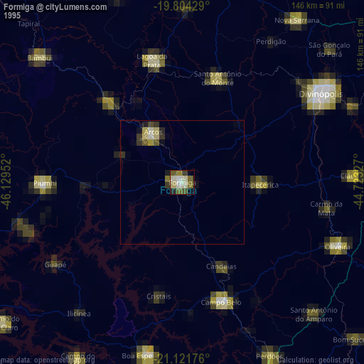
» NASA, Earths city lights 1995
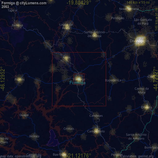
» NASA city lights 2003
» Earth at Night: Flat Maps 2012, 2016