Ourinhos night lights from space
Night Light of Ourinhos (São Paulo) from space (Brazil) Src. Average luminocity for 10x10km area is 55.4623% and for 50x50km: 7.4913%.
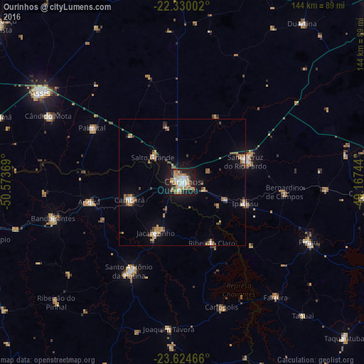

Analysis of Ourinhos night lights 2016
Square area 10x10 km:
 10.71%
90-99
11.31%80-89
6.35%70-79
11.71%60-69
11.11%50-59
3.97%40-49
4.96%30-39
2.78%20-29
15.48%10-19
21.03%0-9
0.6%Square area 50x50 km:
0.77%90-99
0.89%80-89
0.51%70-79
1.65%60-69
1.49%50-59
0.56%40-49
1.08%30-39
0.77%20-29
1.1%10-19
4.74%0-9
86.43%Clear (daylight) street map image can be seen on geolist.org.
Map coordinates:
22° 19' 48.1" South, 50° 34' 25.3" West
22° 58' 44" South, 49° 52' 14" West
23° 37' 28.8" South, 49° 10' 2.8" West
Some cities around Ourinhos sort by population:
• Santa Cruz do Rio Pardo
25.9 km =16.1 mi,  69°
69°
• Santo Antônio da Platina
41 km =25.5 mi,  211°
211°
• Jacarezinho
22.6 km =14 mi, 206°
• Cambará
22.1 km =13.7 mi,  250°
250°
• Palmital
41.3 km =25.7 mi,  300°
300°
• Ipauçu
26.4 km =16.4 mi,  109°
109°
• Chavantes
17.8 km =11.1 mi, 112°
• Bernardino de Campos
40.7 km =25.3 mi,  95°
95°
3455729 (p: 97,799)
Sources (retrieved 2019-11-25):
» NASA, Earths city lights 1995
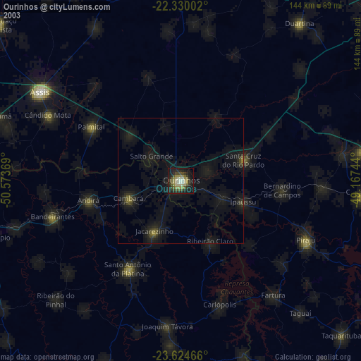
» NASA city lights 2003
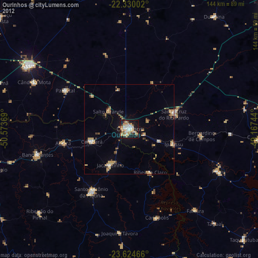
» Earth at Night: Flat Maps 2012, 2016