Jacarezinho night lights from space
Night Light of Jacarezinho (Paraná) from space (Brazil) Src. Average luminocity for 10x10km area is 20.4659% and for 50x50km: 6.6833%.
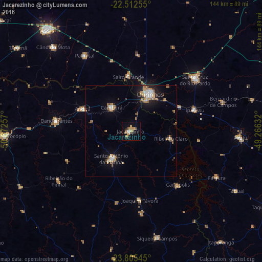
Analysis of Jacarezinho night lights 2016
Square area 10x10 km:
 1.33%
1.33%90-99
0.95%80-89
2.46%70-79
8.52%60-69
3.41%50-59
0%40-49
3.79%30-39
2.27%20-29
0.76%10-19
10.8%0-9
65.72%Square area 50x50 km:
0.79%90-99
0.71%80-89
0.55%70-79
1.51%60-69
1.29%50-59
0.48%40-49
0.85%30-39
0.63%20-29
0.97%10-19
4.18%0-9
88.03%Clear (daylight) street map image can be seen on geolist.org.
Map coordinates:
22° 30' 45.2" South, 50° 40' 21.3" West
23° 9' 38" South, 49° 58' 10" West
23° 48' 19.6" South, 49° 15' 58.8" West
Some cities around Jacarezinho sort by population:
• Ourinhos
22.6 km =14 mi,  26°
26°
• Santa Cruz do Rio Pardo
45.1 km =28 mi,  49°
49°
• Santo Antônio da Platina
18.6 km =11.6 mi,  216°
216°
• Bandeirantes
41.1 km =25.5 mi,  277°
277°
• Cambará
16.6 km =10.3 mi,  319°
319°
• Palmital
48.5 km =30.1 mi,  328°
328°
• Ipauçu
36.9 km =22.9 mi,  71°
71°
• Chavantes
29.8 km =18.5 mi,  63°
63°
3460362 (p: 35,090)
Sources (retrieved 2019-11-25):
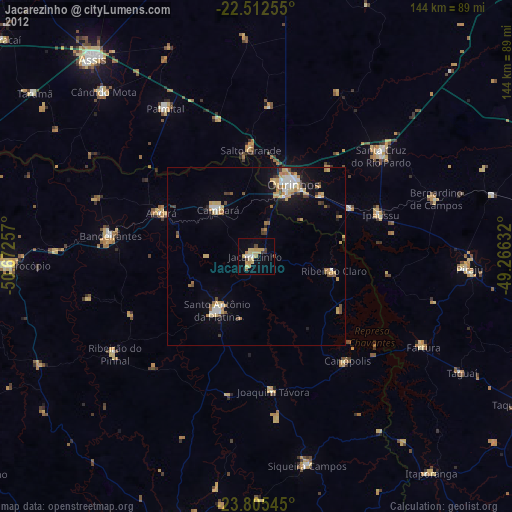
» Earth at Night: Flat Maps 2012, 2016