Brusque night lights from space
Night Light of Brusque (Santa Catarina) from space (Brazil) Src. Average luminocity for 10x10km area is 63.6591% and for 50x50km: 19.4777%.
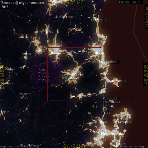
Analysis of Brusque night lights 2016
Square area 10x10 km:
 10.04%
90-99
14.96%80-89
9.66%70-79
8.9%60-69
11.17%50-59
12.31%40-49
6.44%30-39
11.36%20-29
13.64%10-19
1.52%0-9
0%Square area 50x50 km:
2.55%90-99
3.04%80-89
1.93%70-79
2.48%60-69
3.1%50-59
3.2%40-49
2.86%30-39
3.14%20-29
5.4%10-19
12.03%0-9
60.27%Clear (daylight) street map image can be seen on geolist.org.
Map coordinates:
26° 28' 13" South, 49° 36' 57.4" West
27° 5' 52.6" South, 48° 54' 46.1" West
27° 43' 19.7" South, 48° 12' 34.9" West
Some cities around Brusque sort by population:
• Blumenau
25 km =15.5 mi,  322°
322°
• Itajaí
32.6 km =20.3 mi,  49°
49°
• Balneário Camboriú
30 km =18.6 mi,  66°
66°
• Navegantes
33.9 km =21.1 mi, 49°
• Itapema
29.8 km =18.5 mi,  88°
88°
• Gaspar
19.1 km =11.9 mi,  346°
346°
• Tijucas
31.9 km =19.8 mi,  120°
120°
• São João Batista
20.8 km =12.9 mi,  162°
162°
3468879 (p: 88,284)
Sources (retrieved 2019-11-25):
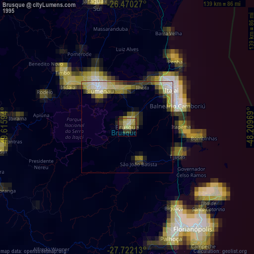
» NASA, Earths city lights 1995
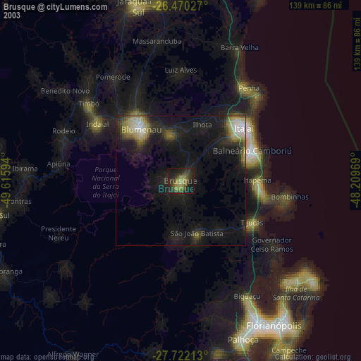
» NASA city lights 2003
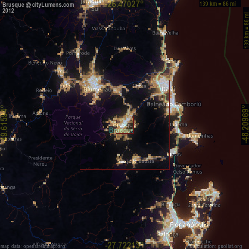
» Earth at Night: Flat Maps 2012, 2016