Itapema night lights from space
Night Light of Itapema (Santa Catarina) from space (Brazil) Src. Average luminocity for 10x10km area is 43.1572% and for 50x50km: 17.0791%.

Analysis of Itapema night lights 2016
Square area 10x10 km:
 7.01%
7.01%90-99
7.01%80-89
7.2%70-79
3.79%60-69
2.65%50-59
4.36%40-49
5.68%30-39
10.04%20-29
31.25%10-19
21.02%0-9
0%Square area 50x50 km:
3.05%90-99
2.9%80-89
1.81%70-79
2%60-69
1.87%50-59
2.63%40-49
1.8%30-39
2.44%20-29
5.53%10-19
11.26%0-9
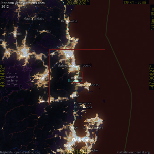
64.7%Clear (daylight) street map image can be seen on geolist.org.
Map coordinates:
26° 27' 45.2" South, 49° 18' 52.3" West
27° 5' 25" South, 48° 36' 41" West
27° 42' 52.2" South, 47° 54' 29.8" West
Some cities around Itapema sort by population:
• Itajaí
20.9 km =13 mi,  346°
346°
• Brusque
29.8 km =18.5 mi,  268°
268°
• Balneário Camboriú
11.3 km =7 mi, 348°
• Navegantes
21.7 km =13.5 mi, 348°
• Tijucas
16.9 km =10.5 mi,  187°
187°
• Penha
35.8 km =22.2 mi, 354°
• Porto Belo
9.5 km =5.9 mi,  142°
142°
• São João Batista
31.3 km =19.4 mi,  228°
228°
3460740 (p: 36,761)
Sources (retrieved 2019-11-25):
» Earth at Night: Flat Maps 2012, 2016