Gravatá night lights from space
Night Light of Gravatá (Pernambuco) from space (Brazil) Src. Average luminocity for 10x10km area is 51.9607% and for 50x50km: 8.4486%.
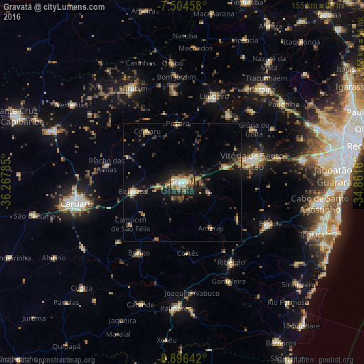

Analysis of Gravatá night lights 2016
Square area 10x10 km:
 4.96%
4.96%90-99
14.05%80-89
9.09%70-79
5.17%60-69
7.23%50-59
9.5%40-49
6.2%30-39
7.23%20-29
17.36%10-19
19.21%0-9
0%Square area 50x50 km:
0.31%90-99
0.86%80-89
1.18%70-79
0.91%60-69
1.48%50-59
1.38%40-49
1.52%30-39
1.68%20-29
2.5%10-19
6%0-9
82.18%Clear (daylight) street map image can be seen on geolist.org.
Map coordinates:
7° 30' 16.5" South, 36° 16' 4.3" West
8° 12' 4" South, 35° 33' 53" West
8° 53' 47.1" South, 34° 51' 41.8" West
Some cities around Gravatá sort by population:
• Bezerros
25.8 km =16 mi,  262°
262°
• Chã Grande
12.1 km =7.5 mi,  110°
110°
• Amaraji
23.7 km =14.7 mi,  148°
148°
• Pombos
19.7 km =12.2 mi,  70°
70°
• Passira
23 km =14.3 mi,  355°
355°
• Camocim de São Félix
27.9 km =17.3 mi,  231°
231°
• Guabiraba
26.5 km =16.5 mi,  205°
205°
• Cumaru
26.1 km =16.2 mi,  326°
326°
3398691 (p: 61,249)
Sources (retrieved 2019-11-25):
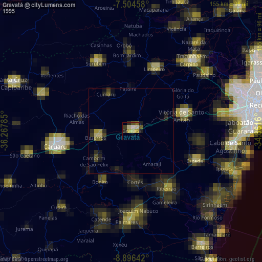
» NASA, Earths city lights 1995
» NASA city lights 2003
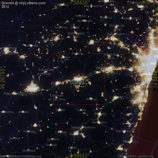
» Earth at Night: Flat Maps 2012, 2016