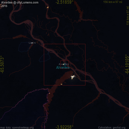
Alvarães night lights from space
Night Light of Alvarães (Amazonas) from space (Brazil) Src. Average luminocity for 10x10km area is 1.1753% and for 50x50km: 0.566%.
Analysis of Alvarães night lights 2016
Square area 10x10 km:
 0%
0%90-99
0%80-89
0%70-79
0.87%60-69
0%50-59
0%40-49
0%30-39
0.22%20-29
1.52%10-19
0%0-9
97.4%Square area 50x50 km:
0.09%90-99
0.05%80-89
0.16%70-79
0.04%60-69
0.08%50-59
0.06%40-49
0%30-39
0.08%20-29
0.1%10-19
0%0-9
99.34%Clear (daylight) street map image can be seen on geolist.org.
Map coordinates:
2° 31' 6.9" South, 65° 30' 26.3" West
3° 13' 15" South, 64° 48' 15" West
3° 55' 21.3" South, 64° 6' 3.8" West
Some cities around Alvarães sort by population:
• Coari
208 km =129.2 mi,  117°
117°
• Tefé
18.9 km =11.7 mi,  150°
150°
• Carauari
296.6 km =184.3 mi,  231°
231°
• Fonte Boa
163.2 km =101.4 mi,  298°
298°
• Codajás
312.5 km =194.2 mi,  102°
102°
• Santo Antônio do Içá
348.4 km =216.5 mi,  272°
272°
• Anori
356 km =221.2 mi, 99°
• Barcelos
325.5 km =202.3 mi,  39°
39°
3665380 (p: 5,527)
Sources (retrieved 2019-11-25):
» Earth at Night: Flat Maps 2012, 2016