Fonte Boa night lights from space
Night Light of Fonte Boa (Amazonas) from space (Brazil) Src. Average luminocity for 10x10km area is 3.2035% and for 50x50km: 0.1542%.
Analysis of Fonte Boa night lights 2016
Square area 10x10 km:
 0%
0%90-99
0.22%80-89
0.65%70-79
0.87%60-69
0.87%50-59
0.87%40-49
0%30-39
0.87%20-29
0%10-19
0.87%0-9
94.81%Square area 50x50 km:
0%90-99
0.01%80-89
0.03%70-79
0.07%60-69
0.03%50-59
0.03%40-49
0%30-39
0.03%20-29
0%10-19
0.03%0-9
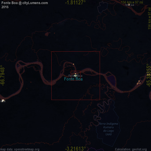
99.76%Clear (daylight) street map image can be seen on geolist.org.
Map coordinates:
1° 48' 40.6" South, 66° 47' 41.3" West
2° 30' 50" South, 66° 5' 30" West
3° 12' 58.1" South, 65° 23' 18.8" West
Some cities around Fonte Boa sort by population:
• Coari
371.2 km =230.7 mi,  118°
118°
• Tefé
179.5 km =111.5 mi, 121°
• Carauari
278.1 km =172.8 mi,  198°
198°
• São Gabriel da Cachoeira
288.4 km =179.2 mi,  337°
337°
• São Paulo de Olivença
323.4 km =201 mi,  252°
252°
• Santo Antônio do Içá
215.4 km =133.8 mi, 252°
• Barcelos
391.2 km =243.1 mi,  64°
64°
• Alvarães
163.2 km =101.4 mi, 118°
3664207 (p: 16,060)
Sources (retrieved 2019-11-25):
» Earth at Night: Flat Maps 2012, 2016