Auriflama night lights from space
Night Light of Auriflama (São Paulo) from space (Brazil) Src. Average luminocity for 10x10km area is 6.4129% and for 50x50km: 0.7753%.
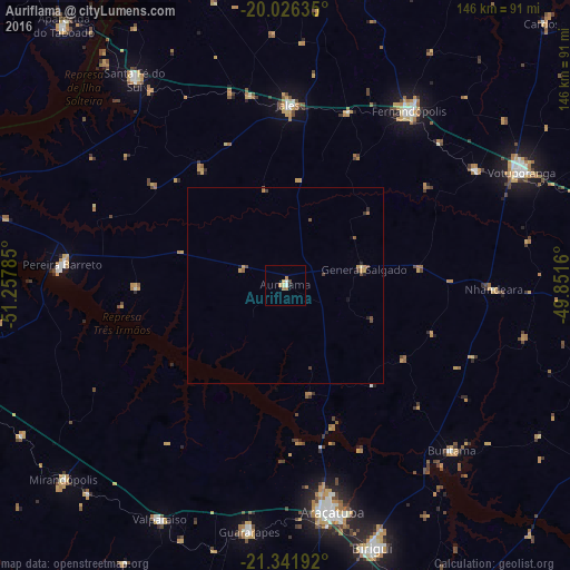
Analysis of Auriflama night lights 2016
Square area 10x10 km:
 0.95%
0.95%90-99
0.57%80-89
0.95%70-79
1.33%60-69
2.27%50-59
0%40-49
0.57%30-39
0.19%20-29
0.76%10-19
0%0-9
92.42%Square area 50x50 km:
0.04%90-99
0.02%80-89
0.1%70-79
0.21%60-69
0.18%50-59
0.1%40-49
0.22%30-39
0.14%20-29
0.13%10-19
0.1%0-9
98.77%Clear (daylight) street map image can be seen on geolist.org.
Map coordinates:
20° 1' 34.9" South, 51° 15' 28.3" West
20° 41' 8" South, 50° 33' 17" West
21° 20' 30.9" South, 49° 51' 5.8" West
Some cities around Auriflama sort by population:
• Araçatuba
59.6 km =37 mi,  167°
167°
• Fernandópolis
55 km =34.2 mi,  35°
35°
• Jales
46.3 km =28.8 mi,  1°
1°
• Guararapes
64.6 km =40.1 mi,  188°
188°
• Pereira Barreto
57.9 km =36 mi,  275°
275°
• Buritama
59.9 km =37.2 mi,  134°
134°
• Nhandeara
53.5 km =33.2 mi,  90°
90°
• General Salgado
20.6 km =12.8 mi,  78°
78°
3471309 (p: 11,970)
Sources (retrieved 2019-11-25):
» Earth at Night: Flat Maps 2012, 2016