Pereira Barreto night lights from space
Night Light of Pereira Barreto (São Paulo) from space (Brazil) Src. Average luminocity for 10x10km area is 15.0625% and for 50x50km: 1.7973%.
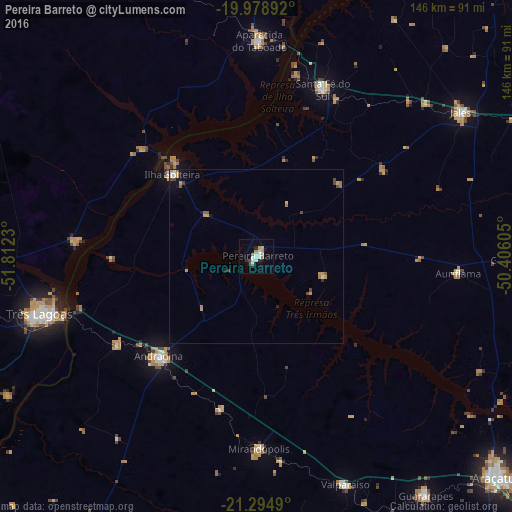
Analysis of Pereira Barreto night lights 2016
Square area 10x10 km:
 3.6%
3.6%90-99
2.46%80-89
0%70-79
4.55%60-69
0.95%50-59
0.57%40-49
0.76%30-39
0%20-29
2.27%10-19
2.84%0-9
82.01%Square area 50x50 km:
0.25%90-99
0.23%80-89
0.1%70-79
0.56%60-69
0.18%50-59
0.21%40-49
0.31%30-39
0.06%20-29
0.19%10-19
0.47%0-9
97.45%Clear (daylight) street map image can be seen on geolist.org.
Map coordinates:
19° 58' 44.1" South, 51° 48' 44.3" West
20° 38' 18" South, 51° 6' 33" West
21° 17' 41.6" South, 50° 24' 21.8" West
Some cities around Pereira Barreto sort by population:
• Três Lagoas
64 km =39.8 mi,  254°
254°
• Andradina
40.1 km =24.9 mi,  224°
224°
• Santa Fé do Sul
51.2 km =31.8 mi,  21°
21°
• Ilha Solteira
33.4 km =20.8 mi,  313°
313°
• Mirandopólis
55.1 km =34.2 mi,  179°
179°
• Aparecida do Taboado
61.4 km =38.2 mi,  1°
1°
• Auriflama
57.9 km =36 mi,  95°
95°
• Castilho
47.2 km =29.3 mi,  236°
236°
3454131 (p: 22,537)
Sources (retrieved 2019-11-25):
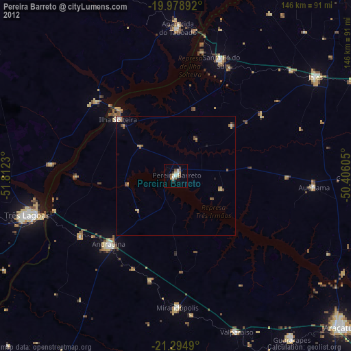
» Earth at Night: Flat Maps 2012, 2016