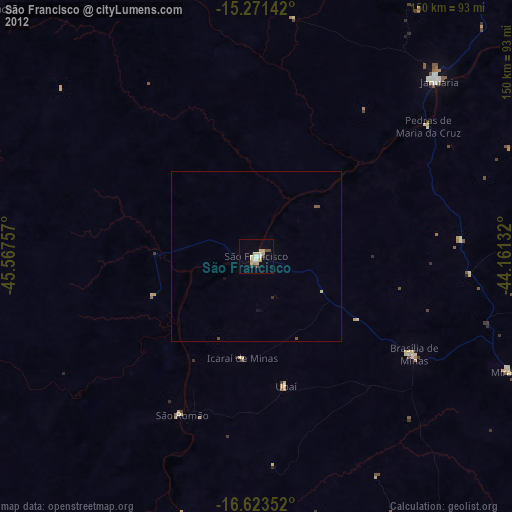
São Francisco night lights from space
Night Light of São Francisco (Minas Gerais) from space (Brazil) Src. Average luminocity for 10x10km area is 19.5931% and for 50x50km: 0.8927%.
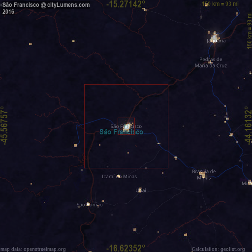
Analysis of São Francisco night lights 2016
Square area 10x10 km:
 3.25%
3.25%90-99
3.46%80-89
3.25%70-79
1.52%60-69
2.38%50-59
2.81%40-49
2.81%30-39
0.43%20-29
1.52%10-19
7.14%0-9
71.43%Square area 50x50 km:
0.12%90-99
0.13%80-89
0.16%70-79
0.06%60-69
0.09%50-59
0.14%40-49
0.17%30-39
0.02%20-29
0.07%10-19
0.3%0-9
98.74%Clear (daylight) street map image can be seen on geolist.org.
Map coordinates:
15° 16' 17.1" South, 45° 34' 3.3" West
15° 56' 55" South, 44° 51' 52" West
16° 37' 24.7" South, 44° 9' 40.8" West
Some cities around São Francisco sort by population:
• Januária
74.4 km =46.2 mi,  46°
46°
• Brasília de Minas
54.3 km =33.7 mi,  121°
121°
• Itacarambi
125.3 km =77.9 mi,  41°
41°
• Coração de Jesus
97.7 km =60.7 mi,  146°
146°
• Arinos
132.7 km =82.5 mi,  271°
271°
• Mirabela
82.5 km =51.3 mi, 115°
• São João da Ponte
91.6 km =56.9 mi,  88°
88°
• Varzelândia
93.7 km =58.2 mi,  72°
72°
3449176 (p: 33,033)
Sources (retrieved 2019-11-25):
» Earth at Night: Flat Maps 2012, 2016