Acaraú night lights from space
Night Light of Acaraú (Ceará) from space (Brazil) Src. Average luminocity for 10x10km area is 27.2403% and for 50x50km: 5.1085%.
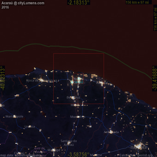
Analysis of Acaraú night lights 2016
Square area 10x10 km:
 1.95%
1.95%90-99
6.71%80-89
1.95%70-79
2.38%60-69
4.98%50-59
1.08%40-49
3.9%30-39
3.03%20-29
3.68%10-19
49.35%0-9
21%Square area 50x50 km:
0.22%90-99
0.69%80-89
0.34%70-79
0.55%60-69
0.56%50-59
1.19%40-49
1.16%30-39
0.73%20-29
0.81%10-19
3.5%0-9
90.26%Clear (daylight) street map image can be seen on geolist.org.
Map coordinates:
2° 10' 59.3" South, 40° 49' 23.3" West
2° 53' 8" South, 40° 7' 12" West
3° 35' 15.2" South, 39° 25' 0.8" West
Some cities around Acaraú sort by population:
• Itapipoca
90.5 km =56.2 mi,  138°
138°
• Camocim
80.1 km =49.8 mi,  268°
268°
• Granja
82.6 km =51.3 mi,  251°
251°
• Santana do Acaraú
64.7 km =40.2 mi,  189°
189°
• Marco
26.7 km =16.6 mi, 186°
• Amontada
61.9 km =38.5 mi,  148°
148°
• Bela Cruz
19.1 km =11.9 mi,  196°
196°
• Cruz
7.4 km =4.6 mi,  237°
237°
3408368 (p: 28,389)
Sources (retrieved 2019-11-25):
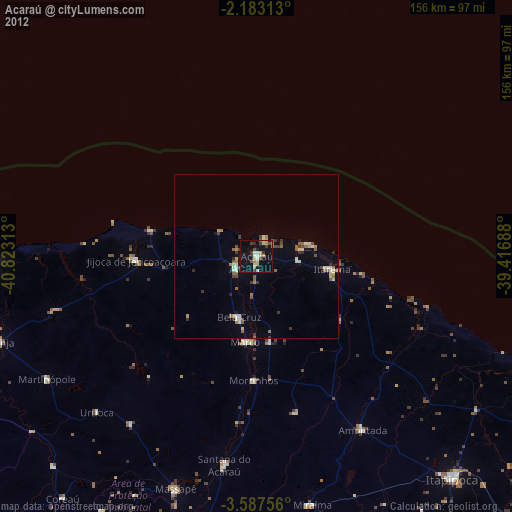
» Earth at Night: Flat Maps 2012, 2016