Camocim night lights from space
Night Light of Camocim (Ceará) from space (Brazil) Src. Average luminocity for 10x10km area is 29.7121% and for 50x50km: 2.1174%.
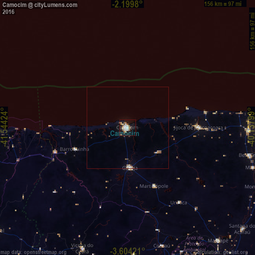
Analysis of Camocim night lights 2016
Square area 10x10 km:
 3.9%
3.9%90-99
8.66%80-89
2.6%70-79
2.81%60-69
2.81%50-59
5.84%40-49
1.95%30-39
1.52%20-29
3.68%10-19
32.68%0-9
33.55%Square area 50x50 km:
0.22%90-99
0.48%80-89
0.13%70-79
0.18%60-69
0.29%50-59
0.46%40-49
0.19%30-39
0.17%20-29
0.27%10-19
1.47%0-9
96.14%Clear (daylight) street map image can be seen on geolist.org.
Map coordinates:
2° 11' 59.3" South, 41° 32' 39.3" West
2° 54' 8" South, 40° 50' 28" West
3° 36' 15.2" South, 40° 8' 16.8" West
Some cities around Camocim sort by population:
• Acaraú
80.1 km =49.8 mi,  88°
88°
• Granja
24.3 km =15.1 mi,  176°
176°
• Viçosa do Ceará
78.5 km =48.8 mi,  200°
200°
• Marco
81 km =50.3 mi,  107°
107°
• Bela Cruz
76.6 km =47.6 mi,  102°
102°
• Barroquinha
35.2 km =21.9 mi,  248°
248°
• Coreaú
73.1 km =45.4 mi,  163°
163°
• Cruz
73.9 km =45.9 mi, 91°
3403687 (p: 44,481)
Sources (retrieved 2019-11-25):
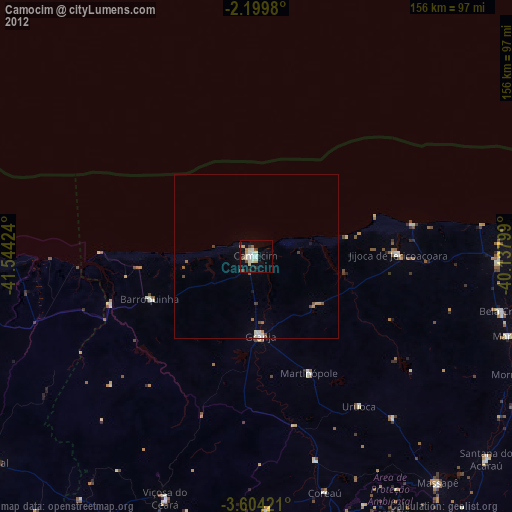
» Earth at Night: Flat Maps 2012, 2016