Kralendijk night lights from space
Night Light of Kralendijk (Bonaire) from space (Bonaire, Saint Eustatius and Saba ) Src. Average luminocity for 10x10km area is 20.2789% and for 50x50km: 1.1238%.
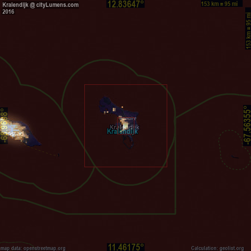
Analysis of Kralendijk night lights 2016
Square area 10x10 km:
 1.03%
1.03%90-99
1.45%80-89
1.03%70-79
6.82%60-69
5.17%50-59
2.27%40-49
2.27%30-39
4.75%20-29
0.83%10-19
7.64%0-9
66.74%Square area 50x50 km:
0.04%90-99
0.06%80-89
0.04%70-79
0.36%60-69
0.26%50-59
0.16%40-49
0.12%30-39
0.27%20-29
0.07%10-19
0.34%0-9
98.28%Clear (daylight) street map image can be seen on geolist.org.
Map coordinates:
12° 50' 11.3" North, 68° 58' 11.3" West
12° 9' 0" North, 68° 16' 0" West
11° 27' 42.3" North, 67° 33' 48.8" West
Some cities around Kralendijk sort by population:
• Coro, VE
174.1 km =108.2 mi,  241°
241°
• Willemstad, CW
72.6 km =45.1 mi,  266°
266°
• Morón, VE
185 km =115 mi,  177°
177°
• San Nicolas, AW
181 km =112.5 mi,  280°
280°
• Tucacas, VE
151.3 km =94 mi, 182°
• Chichiriviche, VE
135.8 km =84.4 mi, 180°
• Savaneta, AW
184.6 km =114.7 mi, 280°
• Sint Michiel Liber, CW
77.9 km =48.4 mi, 270°
3513563 (p: 3,081)
Sources (retrieved 2019-11-25):
» Earth at Night: Flat Maps 2012, 2016