Sint Michiel Liber night lights from space
Night Light of Sint Michiel Liber from space (Curacao) Src. Average luminocity for 10x10km area is 46.1322% and for 50x50km: 7.6182%.
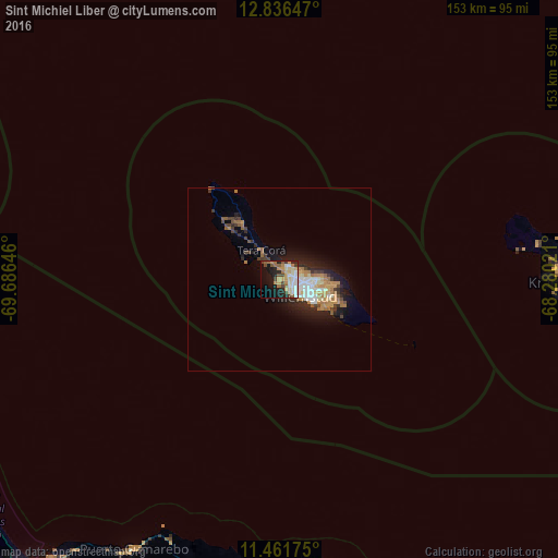
Analysis of Sint Michiel Liber night lights 2016
Square area 10x10 km:
 6.82%
6.82%90-99
10.74%80-89
6.4%70-79
8.88%60-69
7.23%50-59
4.55%40-49
6.61%30-39
2.48%20-29
10.12%10-19
21.28%0-9
14.88%Square area 50x50 km:
0.84%90-99
1.38%80-89
0.72%70-79
1.41%60-69
1.51%50-59
0.61%40-49
0.99%30-39
0.98%20-29
2.05%10-19
4.74%0-9
84.76%Clear (daylight) street map image can be seen on geolist.org.
Map coordinates:
12° 50' 11.3" North, 69° 41' 11.3" West
12° 9' 0" North, 68° 58' 60" West
11° 27' 42.3" North, 68° 16' 48.8" West
Some cities around Sint Michiel Liber sort by population:
• Coro, VE
111.9 km =69.5 mi,  222°
222°
• Willemstad
7.1 km =4.4 mi,  130°
130°
• Tanki Leendert, AW
120.6 km =74.9 mi,  291°
291°
• San Nicolas, AW
105.3 km =65.4 mi, 287°
• Santa Cruz, AW
115.5 km =71.8 mi, 290°
• Paradera, AW
119.1 km =74 mi, 291°
• Savaneta, AW
109 km =67.7 mi, 287°
• Kralendijk, BQ
77.9 km =48.4 mi,  90°
90°
3513221 (p: 5,138)
Sources (retrieved 2019-11-25):
» Earth at Night: Flat Maps 2012, 2016