Vallegrande night lights from space
Night Light of Vallegrande (Santa Cruz) from space (Bolivia) Src. Average luminocity for 10x10km area is 3.4071% and for 50x50km: 0.156%.
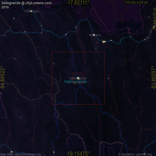
Analysis of Vallegrande night lights 2016
Square area 10x10 km:
 0%
0%90-99
0%80-89
0.79%70-79
1.58%60-69
0%50-59
0.79%40-49
1.58%30-39
0%20-29
0%10-19
0%0-9
95.26%Square area 50x50 km:
0%90-99
0%80-89
0.03%70-79
0.07%60-69
0%50-59
0.03%40-49
0.07%30-39
0.03%20-29
0%10-19
0%0-9
99.77%Clear (daylight) street map image can be seen on geolist.org.
Map coordinates:
17° 49' 16" South, 64° 48' 33.2" West
18° 29' 21.2" South, 64° 6' 21.9" West
19° 9' 17.1" South, 63° 24' 10.7" West
Some cities around Vallegrande sort by population:
• Santa Cruz de la Sierra
125.1 km =77.7 mi,  51°
51°
• Sucre
136 km =84.5 mi,  243°
243°
• Mizque
143.9 km =89.4 mi,  295°
295°
• Cotoca
134.3 km =83.5 mi,  56°
56°
• Villa Yapacaní
124.5 km =77.4 mi,  13°
13°
• Santiago del Torno
94.8 km =58.9 mi, 53°
• Aiquile
117.8 km =73.2 mi,  285°
285°
• La Bélgica
140.5 km =87.3 mi,  42°
42°
3901874 (p: 8,422)
Sources (retrieved 2019-11-25):
» Earth at Night: Flat Maps 2012, 2016