Concepción night lights from space
Night Light of Concepción (Santa Cruz) from space (Bolivia) Src. Average luminocity for 10x10km area is 0.3244% and for 50x50km: 0.4634%.
Analysis of Concepción night lights 2016
Square area 10x10 km:
 0%
0%90-99
0%80-89
0%70-79
0%60-69
0%50-59
0%40-49
0%30-39
0%20-29
0%10-19
0.83%0-9
99.17%Square area 50x50 km:
0%90-99
0%80-89
0.12%70-79
0.06%60-69
0.18%50-59
0.02%40-49
0.1%30-39
0.08%20-29
0.07%10-19
0.07%0-9
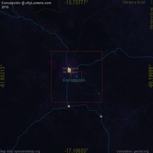
99.31%Clear (daylight) street map image can be seen on geolist.org.
Map coordinates:
15° 45' 28" South, 61° 36' 11.3" West
16° 25' 60" South, 60° 54' 0" West
17° 6' 23.6" South, 60° 11' 48.8" West
Some cities around Concepción sort by population:
• Pontes e Lacerda, BR
214.6 km =133.3 mi,  51°
51°
• San Ignacio de Velasco
9.1 km =5.7 mi,  324°
324°
• Ascención de Guarayos
251.7 km =156.4 mi,  283°
283°
• Ascensión
247.1 km =153.5 mi,  289°
289°
• Mineros
259.6 km =161.3 mi,  252°
252°
• Roboré
243.5 km =151.3 mi,  150°
150°
• Pailón
238.7 km =148.3 mi,  235°
235°
• San Julian
257.3 km =159.9 mi,  234°
234°
3919352 (p: 6,900)
Sources (retrieved 2019-11-25):
» Earth at Night: Flat Maps 2012, 2016