San Matías night lights from space
Night Light of San Matías (Santa Cruz) from space (Bolivia) Src. Average luminocity for 10x10km area is 4.5888% and for 50x50km: 0.1963%.
Analysis of San Matías night lights 2016
Square area 10x10 km:
 0%
0%90-99
0%80-89
0.83%70-79
1.65%60-69
0%50-59
1.65%40-49
0.83%30-39
1.03%20-29
1.45%10-19
0%0-9
92.56%Square area 50x50 km:
0%90-99
0%80-89
0.03%70-79
0.07%60-69
0%50-59
0.07%40-49
0.03%30-39
0.07%20-29
0.06%10-19
0%0-9
99.67%Clear (daylight) street map image can be seen on geolist.org.
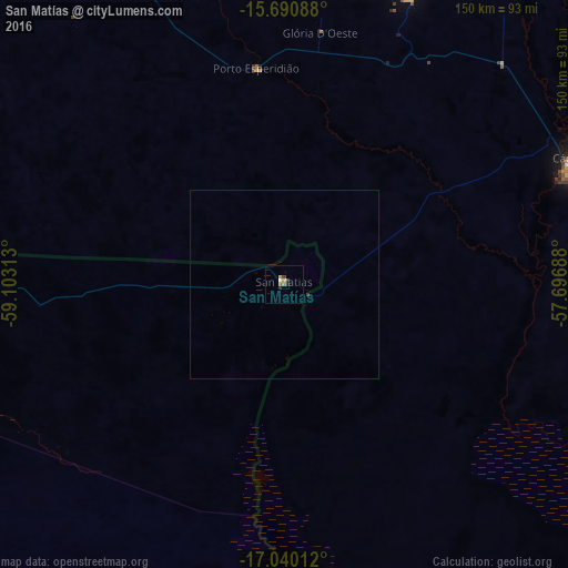
Map coordinates:
15° 41' 27.2" South, 59° 6' 11.3" West
16° 22' 0" South, 58° 24' 0" West
17° 2' 24.4" South, 57° 41' 48.8" West
Some cities around San Matías sort by population:
• Cuiabá, BR
260.7 km =162 mi,  70°
70°
• Várzea Grande, BR
255.2 km =158.6 mi, 71°
• Barra do Bugres, BR
194.2 km =120.7 mi,  42°
42°
• Pontes e Lacerda, BR
161.5 km =100.4 mi,  321°
321°
• Poconé, BR
190 km =118.1 mi,  86°
86°
• Nova Olímpia, BR
211.3 km =131.3 mi,  34°
34°
• Puerto Quijarro
171.3 km =106.4 mi,  156°
156°
• Santo Antônio do Leverger, BR
254.4 km =158.1 mi,  77°
77°
3444105 (p: 6,352)
Sources (retrieved 2019-11-25):
» Earth at Night: Flat Maps 2012, 2016