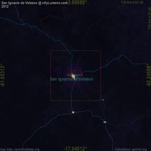
San Ignacio de Velasco night lights from space
Night Light of San Ignacio de Velasco (Santa Cruz) from space (Bolivia) Src. Average luminocity for 10x10km area is 10.7045% and for 50x50km: 0.4525%.
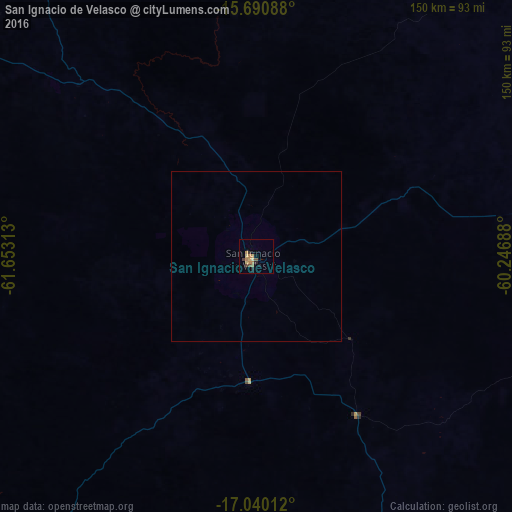
Analysis of San Ignacio de Velasco night lights 2016
Square area 10x10 km:
 0%
0%90-99
0%80-89
3.1%70-79
1.45%60-69
4.55%50-59
0.41%40-49
2.48%30-39
1.24%20-29
1.65%10-19
1.65%0-9
83.47%Square area 50x50 km:
0%90-99
0%80-89
0.12%70-79
0.06%60-69
0.18%50-59
0.02%40-49
0.1%30-39
0.05%20-29
0.07%10-19
0.07%0-9
99.34%Clear (daylight) street map image can be seen on geolist.org.
Map coordinates:
15° 41' 27.2" South, 61° 39' 11.3" West
16° 22' 0" South, 60° 57' 0" West
17° 2' 24.4" South, 60° 14' 48.8" West
Some cities around San Ignacio de Velasco sort by population:
• Pontes e Lacerda, BR
214.3 km =133.2 mi,  53°
53°
• Ascención de Guarayos
244.8 km =152.1 mi,  282°
282°
• Ascensión
239.7 km =148.9 mi,  288°
288°
• Mineros
256.9 km =159.6 mi,  251°
251°
• Roboré
252.6 km =157 mi,  150°
150°
• Pailón
238.7 km =148.3 mi,  233°
233°
• San Julian
257.5 km =160 mi, 232°
• Concepción
9.1 km =5.7 mi,  144°
144°
3905658 (p: 23,569)
Sources (retrieved 2019-11-25):
» Earth at Night: Flat Maps 2012, 2016