Patacamaya night lights from space
Night Light of Patacamaya (La Paz) from space (Bolivia) Src. Average luminocity for 10x10km area is 10.1219% and for 50x50km: 0.861%.
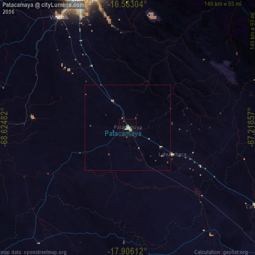
Analysis of Patacamaya night lights 2016
Square area 10x10 km:
 0.41%
0.41%90-99
0.41%80-89
2.27%70-79
5.58%60-69
0.41%50-59
0.83%40-49
0%30-39
0.83%20-29
0%10-19
0.21%0-9
89.05%Square area 50x50 km:
0.02%90-99
0.02%80-89
0.12%70-79
0.3%60-69
0.18%50-59
0.05%40-49
0.22%30-39
0.15%20-29
0.14%10-19
0.09%0-9
98.72%Clear (daylight) street map image can be seen on geolist.org.
Map coordinates:
16° 33' 46.9" South, 68° 37' 29.4" West
17° 14' 8.9" South, 67° 55' 18.1" West
17° 54' 22" South, 67° 13' 6.9" West
Some cities around Patacamaya sort by population:
• La Paz
85.3 km =53 mi,  343°
343°
• Oruro
116.6 km =72.5 mi,  135°
135°
• Quillacollo
175.3 km =108.9 mi,  95°
95°
• Yunguyo, PE
165.3 km =102.7 mi,  311°
311°
• Huanuni
164.1 km =102 mi, 135°
• Achacachi
154.8 km =96.2 mi,  328°
328°
• Desaguadero, PE
140.5 km =87.3 mi,  302°
302°
• San Pedro
148.7 km =92.4 mi,  318°
318°
3908339 (p: 12,260)
Sources (retrieved 2019-11-25):
» Earth at Night: Flat Maps 2012, 2016