Tchaourou night lights from space
Night Light of Tchaourou (Borgou) from space (Benin) Src. Average luminocity for 10x10km area is 2.0368% and for 50x50km: 0.0803%.
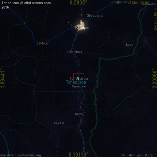

Analysis of Tchaourou night lights 2016
Square area 10x10 km:
 0%
0%90-99
0%80-89
0%70-79
0%60-69
0.43%50-59
0.43%40-49
1.73%30-39
0.87%20-29
0.65%10-19
1.08%0-9
94.81%Square area 50x50 km:
0%90-99
0%80-89
0%70-79
0%60-69
0.02%50-59
0.02%40-49
0.07%30-39
0.03%20-29
0.03%10-19
0.04%0-9
99.8%Clear (daylight) street map image can be seen on geolist.org.
Map coordinates:
9° 34' 49.8" North, 1° 53' 39.9" East
8° 53' 11.4" North, 2° 35' 51.1" East
8° 11' 28.2" North, 3° 18' 2.4" East
Some cities around Tchaourou sort by population:
• Saki, NG
90.8 km =56.4 mi,  105°
105°
• Parakou
50.2 km =31.2 mi,  4°
4°
• Savé
95.5 km =59.3 mi,  187°
187°
• Okuta, NG
74.1 km =46 mi,  60°
60°
• Bassila
103.3 km =64.2 mi,  277°
277°
• Ago Are, NG
99.8 km =62 mi,  115°
115°
• Bétérou
50.9 km =31.6 mi,  313°
313°
• Suya, NG
91.1 km =56.6 mi,  44°
44°
2391377 (p: 20,971)
Sources (retrieved 2019-11-25):
» Earth at Night: Flat Maps 2012, 2016