Dassa-Zoumé night lights from space
Night Light of Dassa-Zoumé (Collines) from space (Benin) Src. Average luminocity for 10x10km area is 1.062% and for 50x50km: 0.1226%.
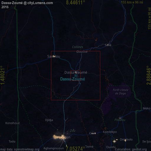
Analysis of Dassa-Zoumé night lights 2016
Square area 10x10 km:
100  0%
0%
90-99 0%
80-89 0%
70-79 0%
60-69 0%
50-59 0%
40-49 0.83%
30-39 1.45%
20-29 0.21%
10-19 0.83%
0-9 96.69%
0%90-99
0%80-89
0%70-79
0%60-69
0%50-59
0%40-49
0.83%30-39
1.45%20-29
0.21%10-19
0.83%0-9
96.69%Square area 50x50 km:
100 0%
90-99 0%
80-89 0%
70-79 0%
60-69 0.02%
50-59 0.05%
40-49 0.07%
30-39 0.09%
20-29 0.01%
10-19 0.1%
0-9 99.66%
0%90-99
0%80-89
0%70-79
0%60-69
0.02%50-59
0.05%40-49
0.07%30-39
0.09%20-29
0.01%10-19
0.1%0-9
99.66%Clear (daylight) street map image can be seen on geolist.org.
Map coordinates:
8° 26' 46" North, 1° 28' 48.8" East
7° 45' 0" North, 2° 10' 60" East
7° 3' 9.9" North, 2° 53' 11.3" East
Some cities around Dassa-Zoumé sort by population:
• Bohicon
64.9 km =40.3 mi,  191°
191°
• Abomey
66.5 km =41.3 mi,  198°
198°
• Savé
46 km =28.6 mi,  46°
46°
• Cové
61.3 km =38.1 mi,  163°
163°
• Pobé
100.7 km =62.6 mi,  148°
148°
• Savalou
30.3 km =18.8 mi,  310°
310°
• Kétou
62.9 km =39.1 mi,  133°
133°
• Imeko, NG
80 km =49.7 mi,  114°
114°
2394711 (p: 21,672)
Sources (retrieved 2019-11-25):
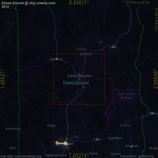
» Earth at Night: Flat Maps 2012, 2016