Savalou night lights from space
Night Light of Savalou (Collines) from space (Benin) Src. Average luminocity for 10x10km area is 1.7955% and for 50x50km: 0.1113%.

Analysis of Savalou night lights 2016
Square area 10x10 km:
 0%
0%90-99
0%80-89
0%70-79
0%60-69
0.41%50-59
1.24%40-49
0.83%30-39
0.83%20-29
0%10-19
0.83%0-9
95.87%Square area 50x50 km:
0%90-99
0%80-89
0%70-79
0%60-69
0.02%50-59
0.05%40-49
0.07%30-39
0.09%20-29
0.01%10-19
0.03%0-9
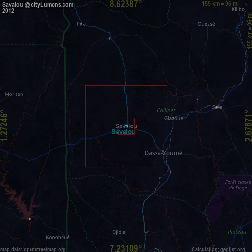
99.73%Clear (daylight) street map image can be seen on geolist.org.
Map coordinates:
8° 37' 25.9" North, 1° 16' 20.9" East
7° 55' 41.1" North, 1° 58' 32.1" East
7° 13' 51.9" North, 2° 40' 43.4" East
Some cities around Savalou sort by population:
• Bohicon
84 km =52.2 mi,  173°
173°
• Abomey
82.9 km =51.5 mi,  178°
178°
• Atakpamé, TG
102.7 km =63.8 mi,  244°
244°
• Savé
57.5 km =35.7 mi,  78°
78°
• Cové
88.3 km =54.9 mi,  152°
152°
• Kétou
93.1 km =57.8 mi,  132°
132°
• Dassa-Zoumé
30.3 km =18.8 mi, 130°
• Imeko, NG
109.4 km =68 mi,  119°
119°
2391895 (p: 30,187)
Sources (retrieved 2019-11-25):
» Earth at Night: Flat Maps 2012, 2016