Okeho night lights from space
Night Light of Okeho (Oyo) from space (Nigeria) Src. Average luminocity for 10x10km area is 0% and for 50x50km: 0.0585%.
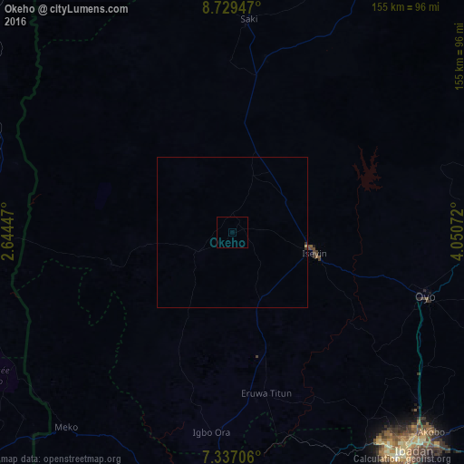
Analysis of Okeho night lights 2016
Square area 10x10 km:
100  0%
0%
90-99 0%
80-89 0%
70-79 0%
60-69 0%
50-59 0%
40-49 0%
30-39 0%
20-29 0%
10-19 0%
0-9 100%
0%90-99
0%80-89
0%70-79
0%60-69
0%50-59
0%40-49
0%30-39
0%20-29
0%10-19
0%0-9
100%Square area 50x50 km:
100 0%
90-99 0%
80-89 0.03%
70-79 0%
60-69 0%
50-59 0%
40-49 0%
30-39 0.03%
20-29 0.04%
10-19 0%
0-9 99.9%
0%90-99
0%80-89
0.03%70-79
0%60-69
0%50-59
0%40-49
0%30-39
0.03%20-29
0.04%10-19
0%0-9
99.9%Clear (daylight) street map image can be seen on geolist.org.
Map coordinates:
8° 43' 46.1" North, 2° 38' 40.1" East
8° 2' 1.9" North, 3° 20' 51.3" East
7° 20' 13.4" North, 4° 3' 2.6" East
Some cities around Okeho sort by population:
• Oyo
67.4 km =41.9 mi,  107°
107°
• Saki
70.7 km =43.9 mi,  4°
4°
• Igbo-Ora
67 km =41.6 mi,  185°
185°
• Savé, BJ
94.8 km =58.9 mi,  270°
270°
• Fiditi
72.1 km =44.8 mi,  119°
119°
• Orita Eruwa
54.6 km =33.9 mi,  170°
170°
• Ago Are
52.4 km =32.6 mi,  8°
8°
• Imeko
85.6 km =53.2 mi,  220°
220°
2327236 (p: 12,964)
Sources (retrieved 2019-11-25):
» Earth at Night: Flat Maps 2012, 2016