Banikoara night lights from space
Night Light of Banikoara (Alibori) from space (Benin) Src. Average luminocity for 10x10km area is 0.3853% and for 50x50km: 0.0151%.
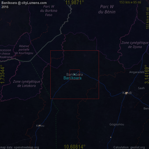
Analysis of Banikoara night lights 2016
Square area 10x10 km:
 0%
0%90-99
0%80-89
0%70-79
0%60-69
0%50-59
0%40-49
0%30-39
0.87%20-29
0%10-19
0%0-9
99.13%Square area 50x50 km:
0%90-99
0%80-89
0%70-79
0%60-69
0%50-59
0%40-49
0%30-39
0.03%20-29
0%10-19
0%0-9
99.97%Clear (daylight) street map image can be seen on geolist.org.
Map coordinates:
11° 59' 13.6" North, 1° 44' 7.6" East
11° 17' 54.4" North, 2° 26' 18.8" East
10° 36' 29.3" North, 3° 8' 30.1" East
Some cities around Banikoara sort by population:
• Kandi
57.5 km =35.7 mi,  108°
108°
• Malanville
120.8 km =75.1 mi,  58°
58°
• Gaya, NE
127.9 km =79.5 mi, 59°
• Diapaga, BF
111.5 km =69.3 mi,  320°
320°
• Kamba, NG
146.1 km =90.8 mi,  65°
65°
• Bembèrèkè
121.5 km =75.5 mi,  168°
168°
• Tanguiéta
148.5 km =92.3 mi,  239°
239°
• Guilmaro
112.8 km =70.1 mi,  223°
223°
2395317 (p: 22,487)
Sources (retrieved 2019-11-25):
» Earth at Night: Flat Maps 2012, 2016