Bembèrèkè night lights from space
Night Light of Bembèrèkè (Borgou) from space (Benin) Src. Average luminocity for 10x10km area is 0.064% and for 50x50km: 0.0136%.
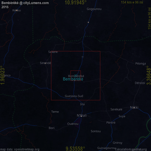
Analysis of Bembèrèkè night lights 2016
Square area 10x10 km:
 0%
0%90-99
0%80-89
0%70-79
0%60-69
0%50-59
0%40-49
0%30-39
0%20-29
0%10-19
0.41%0-9
99.59%Square area 50x50 km:
0%90-99
0%80-89
0%70-79
0%60-69
0%50-59
0%40-49
0%30-39
0%20-29
0%10-19
0.07%0-9
99.93%Clear (daylight) street map image can be seen on geolist.org.
Map coordinates:
10° 55' 10" North, 1° 57' 36.8" East
10° 13' 41.8" North, 2° 39' 48.1" East
9° 32' 8.1" North, 3° 21' 59.3" East
Some cities around Bembèrèkè sort by population:
• Parakou
99.1 km =61.6 mi,  182°
182°
• Kandi
105.1 km =65.3 mi,  16°
16°
• Nikki
68 km =42.3 mi,  118°
118°
• Banikoara
121.5 km =75.5 mi,  348°
348°
• Yashikera, NG
95.6 km =59.4 mi, 122°
• Bétérou
122.7 km =76.2 mi,  201°
201°
• Suya, NG
102.1 km =63.4 mi,  146°
146°
• Guilmaro
109.3 km =67.9 mi,  290°
290°
2395182 (p: 24,006)
Sources (retrieved 2019-11-25):
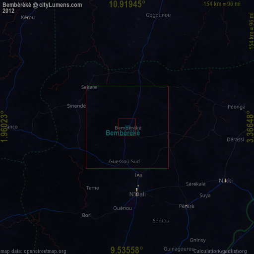
» Earth at Night: Flat Maps 2012, 2016