Guilmaro night lights from space
Night Light of Guilmaro (Atakora) from space (Benin) Src. Average luminocity for 10x10km area is 0% and for 50x50km: 0.0009%.
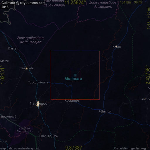
Analysis of Guilmaro night lights 2016
Square area 10x10 km:
 0%
0%90-99
0%80-89
0%70-79
0%60-69
0%50-59
0%40-49
0%30-39
0%20-29
0%10-19
0%0-9
100%Square area 50x50 km:
0%90-99
0%80-89
0%70-79
0%60-69
0%50-59
0%40-49
0%30-39
0%20-29
0%10-19
0%0-9
100%Clear (daylight) street map image can be seen on geolist.org.
Map coordinates:
11° 15' 22.5" North, 1° 1' 16.7" East
10° 33' 57" North, 1° 43' 28" East
9° 52' 25.9" North, 2° 25' 39.2" East
Some cities around Guilmaro sort by population:
• Djougou
95.5 km =59.3 mi,  183°
183°
• Natitingou
47.6 km =29.6 mi,  232°
232°
• Bembèrèkè
109.3 km =67.9 mi,  110°
110°
• Niamtougou, TG
111.6 km =69.3 mi,  217°
217°
• Banikoara
112.8 km =70.1 mi,  43°
43°
• Tanguiéta
50.4 km =31.3 mi,  277°
277°
• Kandé, TG
100.5 km =62.4 mi, 227°
• Pagouda, TG
100.3 km =62.3 mi,  205°
205°
2393917 (p: 6,516)
Sources (retrieved 2019-11-25):
» Earth at Night: Flat Maps 2012, 2016