Kandi night lights from space
Night Light of Kandi (Alibori) from space (Benin) Src. Average luminocity for 10x10km area is 2.6732% and for 50x50km: 0.1049%.
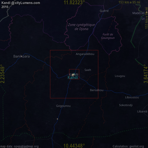

Analysis of Kandi night lights 2016
Square area 10x10 km:
 0%
0%90-99
0%80-89
0%70-79
0%60-69
0%50-59
1.3%40-49
1.3%30-39
1.73%20-29
1.73%10-19
0.87%0-9
93.07%Square area 50x50 km:
0%90-99
0%80-89
0%70-79
0%60-69
0%50-59
0.05%40-49
0.05%30-39
0.07%20-29
0.07%10-19
0.03%0-9
99.73%Clear (daylight) street map image can be seen on geolist.org.
Map coordinates:
11° 49' 23.6" North, 2° 14' 7.8" East
11° 8' 3" North, 2° 56' 19" East
10° 26' 36.5" North, 3° 38' 30.3" East
Some cities around Kandi sort by population:
• Malanville
94.9 km =59 mi,  30°
30°
• Gaya, NE
100.3 km =62.3 mi, 33°
• Kamba, NG
111.6 km =69.3 mi,  44°
44°
• Bembèrèkè
105.1 km =65.3 mi,  196°
196°
• Banikoara
57.5 km =35.7 mi,  288°
288°
• Babana, NG
123.7 km =76.9 mi,  129°
129°
• Dakingari, NG
135.1 km =83.9 mi,  64°
64°
• Konkwesso, NG
130.6 km =81.2 mi,  104°
104°
2393693 (p: 109,701)
Sources (retrieved 2019-11-25):
» NASA, Earths city lights 1995
» NASA city lights 2003
» Earth at Night: Flat Maps 2012, 2016