Kamba night lights from space
Night Light of Kamba (Kebbi) from space (Nigeria) Src. Average luminocity for 10x10km area is 3.3037% and for 50x50km: 0.2444%.

Analysis of Kamba night lights 2016
Square area 10x10 km:
 0%
0%90-99
0%80-89
0%70-79
1.65%60-69
0.21%50-59
1.45%40-49
0%30-39
1.24%20-29
1.24%10-19
0.83%0-9
93.39%Square area 50x50 km:
0%90-99
0%80-89
0%70-79
0.07%60-69
0.01%50-59
0.1%40-49
0.06%30-39
0.13%20-29
0.13%10-19
0.03%0-9
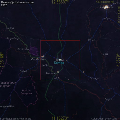
99.46%Clear (daylight) street map image can be seen on geolist.org.
Map coordinates:
12° 32' 20.3" North, 2° 57' 5.9" East
11° 51' 6.2" North, 3° 39' 17.2" East
11° 9' 45.8" North, 4° 21' 28.4" East
Some cities around Kamba sort by population:
• Jega
89 km =55.3 mi,  62°
62°
• Malanville, BJ
29.6 km =18.4 mi,  273°
273°
• Gaya, NE
22.7 km =14.1 mi,  279°
279°
• Dakingari
49.8 km =30.9 mi,  117°
117°
• Kangiwa
80 km =49.7 mi,  12°
12°
• Maiyama
81.8 km =50.8 mi,  71°
71°
• Kende
75.6 km =47 mi, 119°
• Bagudo
79.7 km =49.5 mi,  128°
128°
2335333 (p: 25,568)
Sources (retrieved 2019-11-25):
» Earth at Night: Flat Maps 2012, 2016