Diapaga night lights from space
Night Light of Diapaga (Est) from space (Burkina Faso) Src. Average luminocity for 10x10km area is 0.9194% and for 50x50km: 0.0519%.

Analysis of Diapaga night lights 2016
Square area 10x10 km:
 0%
0%90-99
0%80-89
0%70-79
0%60-69
0%50-59
0.21%40-49
0.83%30-39
0.62%20-29
0%10-19
0.83%0-9
97.52%Square area 50x50 km:
0%90-99
0%80-89
0%70-79
0%60-69
0%50-59
0.01%40-49
0.07%30-39
0.03%20-29
0%10-19
0.03%0-9
99.87%Clear (daylight) street map image can be seen on geolist.org.
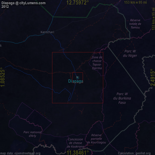
Map coordinates:
12° 45' 35" North, 1° 5' 6.9" East
12° 4' 23" North, 1° 47' 18.2" East
11° 23' 4.6" North, 2° 29' 29.4" East
Some cities around Diapaga sort by population:
• Niamey, NE
163.9 km =101.8 mi,  12°
12°
• Kandi, BJ
163.1 km =101.3 mi,  129°
129°
• Fada N'gourma
155.5 km =96.6 mi,  269°
269°
• Banikoara, BJ
111.5 km =69.3 mi,  140°
140°
• Say, NE
130.5 km =81.1 mi,  28°
28°
• Kollo, NE
149.4 km =92.8 mi,  23°
23°
• Pama
149.1 km =92.6 mi,  232°
232°
• Guilmaro, BJ
167.7 km =104.2 mi,  182°
182°
2361373 (p: 26,013)
Sources (retrieved 2019-11-25):
» Earth at Night: Flat Maps 2012, 2016