Tanguiéta night lights from space
Night Light of Tanguiéta (Atakora) from space (Benin) Src. Average luminocity for 10x10km area is 2.7603% and for 50x50km: 0.1159%.
Analysis of Tanguiéta night lights 2016
Square area 10x10 km:
 0%
0%90-99
0%80-89
0%70-79
1.65%60-69
0.83%50-59
0%40-49
0.83%30-39
0%20-29
0.83%10-19
0.83%0-9
95.04%Square area 50x50 km:
0%90-99
0%80-89
0%70-79
0.07%60-69
0.03%50-59
0%40-49
0.03%30-39
0%20-29
0.03%10-19
0.05%0-9
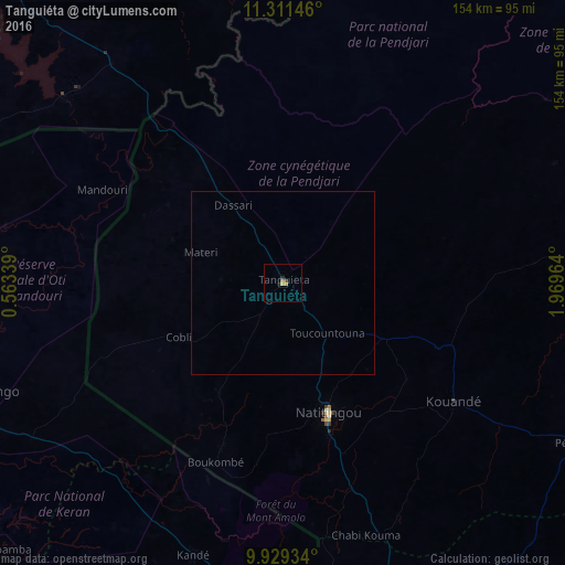
99.78%Clear (daylight) street map image can be seen on geolist.org.
Map coordinates:
11° 18' 41.3" North, 0° 33' 48.2" East
10° 37' 16.2" North, 1° 15' 59.4" East
9° 55' 45.6" North, 1° 58' 10.7" East
Some cities around Tanguiéta sort by population:
• Djougou
110.5 km =68.7 mi,  156°
156°
• Natitingou
37.4 km =23.2 mi, 160°
• Sansanné-Mango, TG
91.7 km =57 mi,  251°
251°
• Niamtougou, TG
96.5 km =60 mi,  190°
190°
• Kandé, TG
77.7 km =48.3 mi,  198°
198°
• Pama, BF
92.8 km =57.7 mi,  318°
318°
• Pagouda, TG
96.8 km =60.1 mi,  176°
176°
• Guilmaro
50.4 km =31.3 mi,  97°
97°
2391455 (p: 19,833)
Sources (retrieved 2019-11-25):
» Earth at Night: Flat Maps 2012, 2016