Gaya night lights from space
Night Light of Gaya (Dosso) from space (Niger) Src. Average luminocity for 10x10km area is 1.5826% and for 50x50km: 0.2859%.
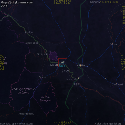
Analysis of Gaya night lights 2016
Square area 10x10 km:
 0%
0%90-99
0%80-89
0%70-79
0%60-69
0%50-59
0.21%40-49
1.45%30-39
1.24%20-29
1.24%10-19
0%0-9
95.87%Square area 50x50 km:
0%90-99
0%80-89
0%70-79
0.07%60-69
0.01%50-59
0.13%40-49
0.1%30-39
0.17%20-29
0.13%10-19
0.03%0-9
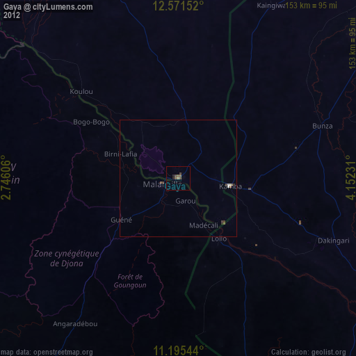
99.36%Clear (daylight) street map image can be seen on geolist.org.
Map coordinates:
12° 34' 17.5" North, 2° 44' 45.8" East
11° 53' 3.7" North, 3° 26' 57.1" East
11° 11' 43.6" North, 4° 9' 8.3" East
Some cities around Gaya sort by population:
• Kandi, BJ
100.3 km =62.3 mi,  213°
213°
• Malanville, BJ
7.4 km =4.6 mi,  255°
255°
• Kamba, NG
22.7 km =14.1 mi,  99°
99°
• Dakingari, NG
71.7 km =44.6 mi,  111°
111°
• Kangiwa, NG
84.5 km =52.5 mi,  28°
28°
• Maiyama, NG
102.4 km =63.6 mi,  77°
77°
• Kende, NG
97.2 km =60.4 mi, 114°
• Bagudo, NG
100 km =62.1 mi,  122°
122°
2444489 (p: 33,051)
Sources (retrieved 2019-11-25):
» Earth at Night: Flat Maps 2012, 2016