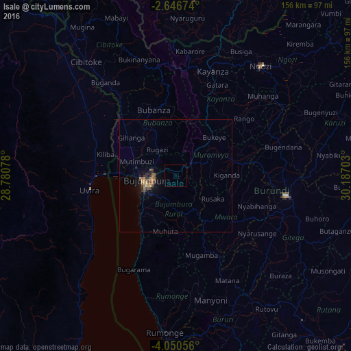
Isale night lights from space
Night Light of Isale (Bujumbura Rural) from space (Burundi) Src. Average luminocity for 10x10km area is 0.1299% and for 50x50km: 1.4306%.
Analysis of Isale night lights 2016
Square area 10x10 km:
 0%
0%90-99
0%80-89
0%70-79
0%60-69
0%50-59
0%40-49
0%30-39
0%20-29
0%10-19
0%0-9
100%Square area 50x50 km:
0%90-99
0.03%80-89
0.12%70-79
0.29%60-69
0.46%50-59
0.26%40-49
0.31%30-39
0.28%20-29
0.27%10-19
0.76%0-9
97.22%Clear (daylight) street map image can be seen on geolist.org.
Map coordinates:
2° 38' 48.3" South, 28° 46' 50.8" East
3° 20' 56" South, 29° 29' 2" East
4° 3' 2" South, 30° 11' 13.3" East
Some cities around Isale sort by population:
• Bujumbura
14.1 km =8.8 mi,  254°
254°
• Uvira, CD
38.8 km =24.1 mi,  262°
262°
• Gitega
49.7 km =30.9 mi,  100°
100°
• Ngozi
62.4 km =38.8 mi,  38°
38°
• Kayanza
50.1 km =31.1 mi,  18°
18°
• Muramvya
16.4 km =10.2 mi,  56°
56°
• Bubanza
31.6 km =19.6 mi,  340°
340°
• Mwaro
30.3 km =18.8 mi,  126°
126°
425336 (p: 0)
Sources (retrieved 2019-11-25):
» Earth at Night: Flat Maps 2012, 2016