Ziniaré night lights from space
Night Light of Ziniaré (Plateau-Central) from space (Burkina Faso) Src. Average luminocity for 10x10km area is 2.8658% and for 50x50km: 3.7445%.
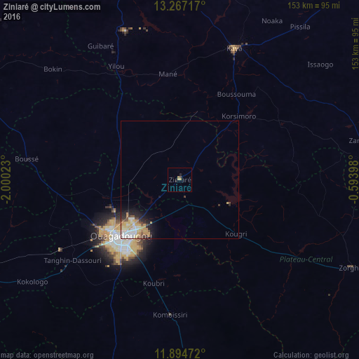
Analysis of Ziniaré night lights 2016
Square area 10x10 km:
 0%
0%90-99
0%80-89
0.22%70-79
1.52%60-69
0.87%50-59
0%40-49
0.87%30-39
0%20-29
1.73%10-19
0%0-9
94.81%Square area 50x50 km:
0.68%90-99
0.71%80-89
0.7%70-79
0.82%60-69
0.36%50-59
0.2%40-49
0.41%30-39
0.37%20-29
0.67%10-19
1.55%0-9
93.53%Clear (daylight) street map image can be seen on geolist.org.
Map coordinates:
13° 16' 1.8" North, 2° 0' 0.8" West
12° 34' 54.7" North, 1° 17' 49.6" West
11° 53' 41" North, 0° 35' 38.3" West
Some cities around Ziniaré sort by population:
• Ouagadougou
35.2 km =21.9 mi,  226°
226°
• Kaya
61.2 km =38 mi,  22°
22°
• Kombissiri
57.2 km =35.5 mi,  184°
184°
• Kokologo
76.3 km =47.4 mi,  235°
235°
• Boulsa
78.9 km =49 mi,  83°
83°
• Boussé
65.5 km =40.7 mi,  277°
277°
• Pitmoaga
73.7 km =45.8 mi, 239°
• Goulouré
79.2 km =49.2 mi, 240°
2353257 (p: 12,703)
Sources (retrieved 2019-11-25):
» Earth at Night: Flat Maps 2012, 2016