Kaya night lights from space
Night Light of Kaya (Centre-Nord) from space (Burkina Faso) Src. Average luminocity for 10x10km area is 10.1126% and for 50x50km: 0.4338%.
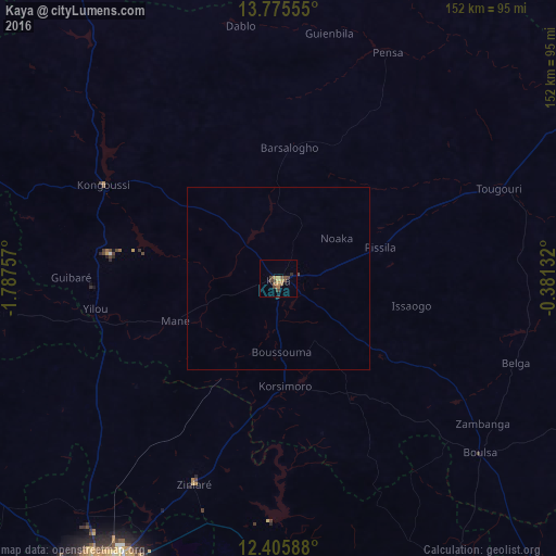
Analysis of Kaya night lights 2016
Square area 10x10 km:
 0%
0%90-99
0%80-89
0.22%70-79
4.11%60-69
0.87%50-59
3.9%40-49
3.46%30-39
2.16%20-29
0.87%10-19
0%0-9
84.42%Square area 50x50 km:
0%90-99
0%80-89
0.01%70-79
0.16%60-69
0.03%50-59
0.15%40-49
0.17%30-39
0.08%20-29
0.07%10-19
0%0-9
99.33%Clear (daylight) street map image can be seen on geolist.org.
Map coordinates:
13° 46' 32" North, 1° 47' 15.3" West
13° 5' 30" North, 1° 5' 4" West
12° 24' 21.2" North, 0° 22' 52.8" West
Some cities around Kaya sort by population:
• Ouagadougou
94.3 km =58.6 mi,  211°
211°
• Kombissiri
117 km =72.7 mi,  193°
193°
• Kongoussi
55.3 km =34.4 mi,  298°
298°
• Zorgo
106.6 km =66.2 mi,  151°
151°
• Boulsa
72.7 km =45.2 mi,  130°
130°
• Boussé
100.1 km =62.2 mi,  241°
241°
• Ziniaré
61.2 km =38 mi,  202°
202°
• Bogandé
102.2 km =63.5 mi,  97°
97°
2359608 (p: 39,229)
Sources (retrieved 2019-11-25):
» Earth at Night: Flat Maps 2012, 2016