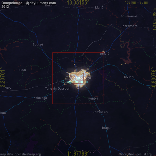
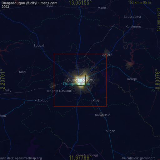
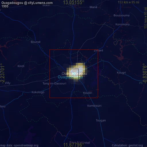
Ouagadougou night lights from space
Night Light of Ouagadougou (Centre) from space (Burkina Faso) Src. Average luminocity for 10x10km area is 92.6963% and for 50x50km: 12.0283%.
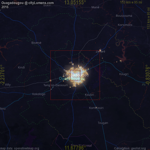
Analysis of Ouagadougou night lights 2016
Square area 10x10 km:
 32.23%
90-99
39.88%80-89
11.57%70-79
13.64%60-69
2.48%50-59
0.21%40-49
0%30-39
0%20-29
0%10-19
0%0-9
0%Square area 50x50 km:
1.92%90-99
2.54%80-89
1.74%70-79
2.99%60-69
0.86%50-59
0.8%40-49
1.5%30-39
1.21%20-29
2.61%10-19
5.66%0-9
78.17%Clear (daylight) street map image can be seen on geolist.org.
Map coordinates:
13° 3' 5.6" North, 2° 14' 13.2" West
12° 21' 56.4" North, 1° 32' 2" West
11° 40' 40.7" North, 0° 49' 50.7" West
Some cities around Ouagadougou sort by population:
• Koudougou
90.9 km =56.5 mi,  262°
262°
• Kombissiri
39.4 km =24.5 mi,  146°
146°
• Kokologo
41.9 km =26 mi,  242°
242°
• Boussé
51.2 km =31.8 mi,  309°
309°
• Manga
92.8 km =57.7 mi, 147°
• Ziniaré
35.2 km =21.9 mi,  46°
46°
• Pitmoaga
40.1 km =24.9 mi,  250°
250°
• Goulouré
45.8 km =28.5 mi, 251°
2357048 (p: 1,086,505)
Sources (retrieved 2019-11-25):
» NASA, Earths city lights 1995
» NASA city lights 2003
» Earth at Night: Flat Maps 2012, 2016