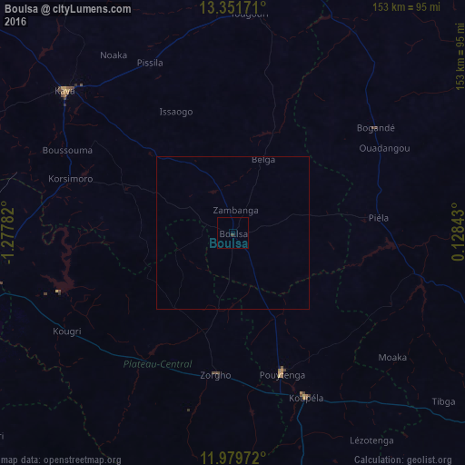
Boulsa night lights from space
Night Light of Boulsa (Centre-Nord) from space (Burkina Faso) Src. Average luminocity for 10x10km area is 0.329% and for 50x50km: 0.0129%.
Analysis of Boulsa night lights 2016
Square area 10x10 km:
 0%
0%90-99
0%80-89
0%70-79
0%60-69
0%50-59
0%40-49
0%30-39
0.87%20-29
0%10-19
0%0-9
99.13%Square area 50x50 km:
0%90-99
0%80-89
0%70-79
0%60-69
0%50-59
0%40-49
0%30-39
0.03%20-29
0%10-19
0%0-9
99.97%Clear (daylight) street map image can be seen on geolist.org.
Map coordinates:
13° 21' 6.2" North, 1° 16' 40.2" West
12° 39' 59.9" North, 0° 34' 28.9" West
11° 58' 47" North, 0° 7' 42.3" East
Some cities around Boulsa sort by population:
• Kaya
72.7 km =45.2 mi,  310°
310°
• Tenkodogo
101.1 km =62.8 mi,  167°
167°
• Koupéla
59.4 km =36.9 mi,  155°
155°
• Kombissiri
106.1 km =65.9 mi,  231°
231°
• Garango
96.4 km =59.9 mi,  178°
178°
• Zorgo
46.6 km =29 mi,  185°
185°
• Ziniaré
78.9 km =49 mi,  263°
263°
• Bogandé
57.1 km =35.5 mi,  53°
53°
2361946 (p: 17,489)
Sources (retrieved 2019-11-25):
» Earth at Night: Flat Maps 2012, 2016