Pitmoaga night lights from space
Night Light of Pitmoaga (Centre-Ouest) from space (Burkina Faso) Src. Average luminocity for 10x10km area is 0% and for 50x50km: 0.1213%.
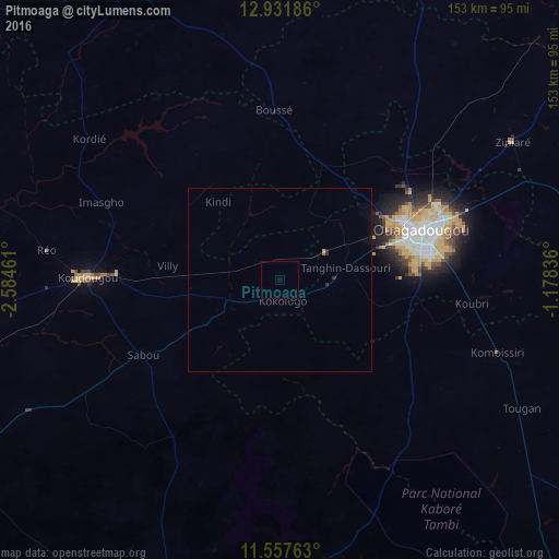
Analysis of Pitmoaga night lights 2016
Square area 10x10 km:
 0%
0%90-99
0%80-89
0%70-79
0%60-69
0%50-59
0%40-49
0%30-39
0%20-29
0%10-19
0%0-9
100%Square area 50x50 km:
0%90-99
0%80-89
0.03%70-79
0%60-69
0.01%50-59
0.03%40-49
0%30-39
0.05%20-29
0.08%10-19
0%0-9
99.8%Clear (daylight) street map image can be seen on geolist.org.
Map coordinates:
12° 55' 54.7" North, 2° 35' 4.6" West
12° 14' 44.3" North, 1° 52' 53.3" West
11° 33' 27.5" North, 1° 10' 42.1" West
Some cities around Pitmoaga sort by population:
• Ouagadougou
40.1 km =24.9 mi,  70°
70°
• Koudougou
52.3 km =32.5 mi,  270°
270°
• Réo
64.6 km =40.1 mi,  277°
277°
• Kombissiri
62.4 km =38.8 mi,  108°
108°
• Kokologo
5.8 km =3.6 mi,  175°
175°
• Boussé
46.2 km =28.7 mi,  358°
358°
• Ziniaré
73.7 km =45.8 mi,  59°
59°
• Goulouré
5.8 km =3.6 mi,  258°
258°
2356459 (p: 7,991)
Sources (retrieved 2019-11-25):
» Earth at Night: Flat Maps 2012, 2016