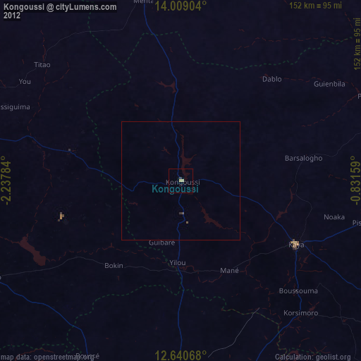
Kongoussi night lights from space
Night Light of Kongoussi (Centre-Nord) from space (Burkina Faso) Src. Average luminocity for 10x10km area is 1.5% and for 50x50km: 0.3722%.
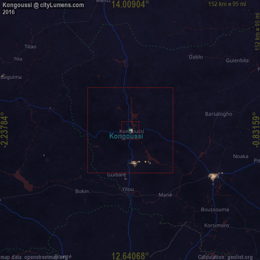
Analysis of Kongoussi night lights 2016
Square area 10x10 km:
 0%
0%90-99
0%80-89
0%70-79
0.83%60-69
0%50-59
0.83%40-49
0.41%30-39
0.41%20-29
0%10-19
0%0-9
97.52%Square area 50x50 km:
0.02%90-99
0.02%80-89
0%70-79
0.1%60-69
0.06%50-59
0.04%40-49
0.21%30-39
0.08%20-29
0.12%10-19
0.04%0-9
99.31%Clear (daylight) street map image can be seen on geolist.org.
Map coordinates:
14° 0' 32.5" North, 2° 14' 16.2" West
13° 19' 33" North, 1° 32' 5" West
12° 38' 26.4" North, 0° 49' 53.7" West
Some cities around Kongoussi sort by population:
• Ouahigouya
100.1 km =62.2 mi,  286°
286°
• Kaya
55.3 km =34.4 mi,  118°
118°
• Yako
88.6 km =55.1 mi,  242°
242°
• Djibo
86.6 km =53.8 mi,  353°
353°
• Titao
75.6 km =47 mi,  310°
310°
• Gourcy
90.2 km =56 mi,  261°
261°
• Boussé
83.6 km =51.9 mi,  207°
207°
• Ziniaré
86.6 km =53.8 mi,  162°
162°
2359142 (p: 26,338)
Sources (retrieved 2019-11-25):
» Earth at Night: Flat Maps 2012, 2016