Gourcy night lights from space
Night Light of Gourcy (Nord) from space (Burkina Faso) Src. Average luminocity for 10x10km area is 0.671% and for 50x50km: 0.0283%.
Analysis of Gourcy night lights 2016
Square area 10x10 km:
100  0%
0%
90-99 0%
80-89 0%
70-79 0%
60-69 0%
50-59 0%
40-49 0.87%
30-39 0%
20-29 0.87%
10-19 0%
0-9 98.27%
0%90-99
0%80-89
0%70-79
0%60-69
0%50-59
0%40-49
0.87%30-39
0%20-29
0.87%10-19
0%0-9
98.27%Square area 50x50 km:
100 0%
90-99 0%
80-89 0%
70-79 0%
60-69 0%
50-59 0%
40-49 0.03%
30-39 0%
20-29 0.03%
10-19 0%
0-9 99.93%
0%90-99
0%80-89
0%70-79
0%60-69
0%50-59
0%40-49
0.03%30-39
0%20-29
0.03%10-19
0%0-9
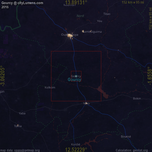
99.93%Clear (daylight) street map image can be seen on geolist.org.
Map coordinates:
13° 53' 28.7" North, 3° 3' 43.4" West
13° 12' 27.9" North, 2° 21' 32.1" West
12° 31' 20.2" North, 1° 39' 20.9" West
Some cities around Gourcy sort by population:
• Ouahigouya
42.2 km =26.2 mi,  350°
350°
• Réo
99.5 km =61.8 mi,  187°
187°
• Kongoussi
90.2 km =56 mi,  81°
81°
• Yako
29.6 km =18.4 mi,  158°
158°
• Titao
69.7 km =43.3 mi,  26°
26°
• Tougan
78.4 km =48.7 mi,  258°
258°
• Boussé
78.9 km =49 mi,  140°
140°
• Toma
76.9 km =47.8 mi,  229°
229°
2360238 (p: 16,765)
Sources (retrieved 2019-11-25):
» Earth at Night: Flat Maps 2012, 2016