Yako night lights from space
Night Light of Yako (Nord) from space (Burkina Faso) Src. Average luminocity for 10x10km area is 1.6797% and for 50x50km: 0.0664%.
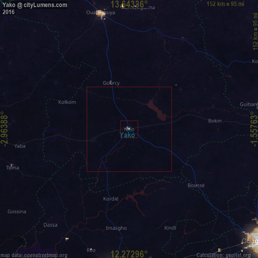
Analysis of Yako night lights 2016
Square area 10x10 km:
 0%
0%90-99
0%80-89
0%70-79
0%60-69
0.65%50-59
0.22%40-49
0.87%30-39
0.87%20-29
0.65%10-19
1.08%0-9
95.67%Square area 50x50 km:
0%90-99
0%80-89
0%70-79
0%60-69
0.03%50-59
0.01%40-49
0.03%30-39
0.03%20-29
0.03%10-19
0.04%0-9
99.83%Clear (daylight) street map image can be seen on geolist.org.
Map coordinates:
13° 38' 36.1" North, 2° 57' 50" West
12° 57' 32.8" North, 2° 15' 38.7" West
12° 16' 22.7" North, 1° 33' 27.5" West
Some cities around Yako sort by population:
• Koudougou
79.3 km =49.3 mi,  188°
188°
• Ouahigouya
71.5 km =44.4 mi,  345°
345°
• Réo
74.7 km =46.4 mi,  197°
197°
• Tougan
88.5 km =55 mi,  278°
278°
• Gourcy
29.6 km =18.4 mi,  338°
338°
• Boussé
51.7 km =32.1 mi,  129°
129°
• Toma
72.7 km =45.2 mi,  252°
252°
• Goulouré
88 km =54.7 mi,  156°
156°
2353688 (p: 22,904)
Sources (retrieved 2019-11-25):
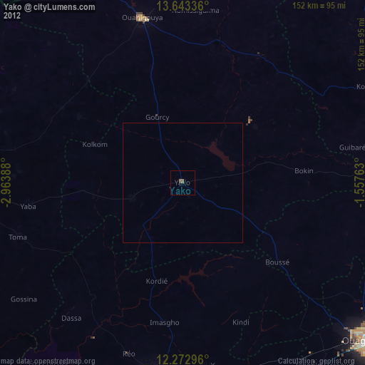
» Earth at Night: Flat Maps 2012, 2016