Koudougou night lights from space
Night Light of Koudougou (Centre-Ouest) from space (Burkina Faso) Src. Average luminocity for 10x10km area is 20.9298% and for 50x50km: 1.1007%.
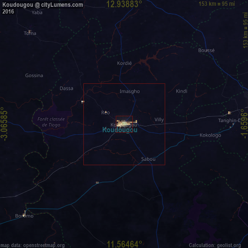
Analysis of Koudougou night lights 2016
Square area 10x10 km:
 0%
0%90-99
0%80-89
7.23%70-79
4.96%60-69
4.13%50-59
0.83%40-49
5.37%30-39
3.1%20-29
1.45%10-19
7.64%0-9
65.29%Square area 50x50 km:
0%90-99
0%80-89
0.34%70-79
0.24%60-69
0.22%50-59
0.04%40-49
0.25%30-39
0.15%20-29
0.09%10-19
0.35%0-9
98.32%Clear (daylight) street map image can be seen on geolist.org.
Map coordinates:
12° 56' 19.8" North, 3° 3' 57.1" West
12° 15' 9.5" North, 2° 21' 45.8" West
11° 33' 52.7" North, 1° 39' 34.6" West
Some cities around Koudougou sort by population:
• Réo
13.9 km =8.6 mi,  302°
302°
• Kokologo
53.2 km =33.1 mi,  97°
97°
• Yako
79.3 km =49.3 mi,  8°
8°
• Boussé
68.1 km =42.3 mi,  48°
48°
• Boromo
83.6 km =51.9 mi,  227°
227°
• Toma
80.9 km =50.3 mi,  314°
314°
• Pitmoaga
52.3 km =32.5 mi,  90°
90°
• Goulouré
46.6 km =29 mi, 92°
2358946 (p: 87,347)
Sources (retrieved 2019-11-25):
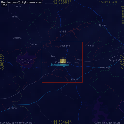
» NASA, Earths city lights 1995
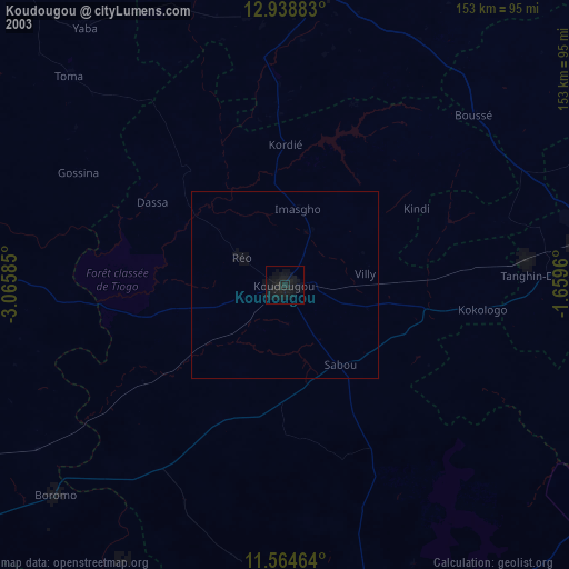
» NASA city lights 2003
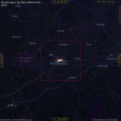
» Earth at Night: Flat Maps 2012, 2016