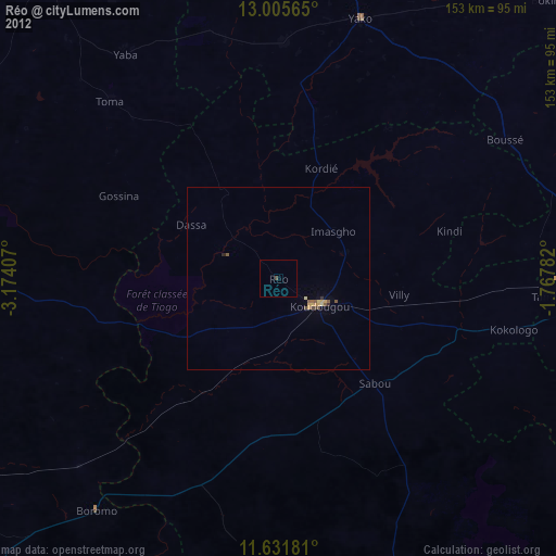
Réo night lights from space
Night Light of Réo (Centre-Ouest) from space (Burkina Faso) Src. Average luminocity for 10x10km area is 0.6384% and for 50x50km: 1.1617%.
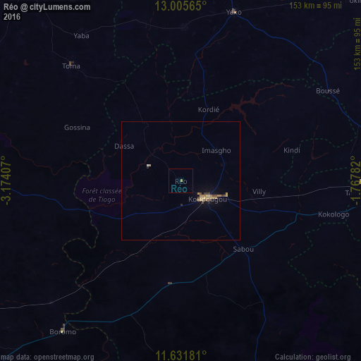
Analysis of Réo night lights 2016
Square area 10x10 km:
 0%
0%90-99
0%80-89
0%70-79
0%60-69
0.83%50-59
0%40-49
0%30-39
0%20-29
0%10-19
0%0-9
99.17%Square area 50x50 km:
0%90-99
0.03%80-89
0.35%70-79
0.25%60-69
0.22%50-59
0.04%40-49
0.25%30-39
0.15%20-29
0.13%10-19
0.35%0-9
98.23%Clear (daylight) street map image can be seen on geolist.org.
Map coordinates:
13° 0' 20.3" North, 3° 10' 26.7" West
12° 19' 10.7" North, 2° 28' 15.4" West
11° 37' 54.5" North, 1° 46' 4.2" West
Some cities around Réo sort by population:
• Koudougou
13.9 km =8.6 mi,  122°
122°
• Kokologo
66 km =41 mi,  102°
102°
• Yako
74.7 km =46.4 mi,  17°
17°
• Boussé
73.1 km =45.4 mi,  58°
58°
• Boromo
81 km =50.3 mi,  218°
218°
• Toma
67.4 km =41.9 mi,  316°
316°
• Pitmoaga
64.6 km =40.1 mi, 97°
• Goulouré
59.1 km =36.7 mi, 99°
2356228 (p: 37,535)
Sources (retrieved 2019-11-25):
» Earth at Night: Flat Maps 2012, 2016