Natitingou night lights from space
Night Light of Natitingou (Atakora) from space (Benin) Src. Average luminocity for 10x10km area is 9.7727% and for 50x50km: 0.4154%.
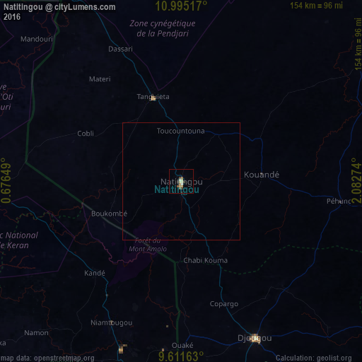
Analysis of Natitingou night lights 2016
Square area 10x10 km:
 0%
0%90-99
1.65%80-89
3.31%70-79
0.83%60-69
1.45%50-59
1.03%40-49
1.45%30-39
1.86%20-29
1.24%10-19
0%0-9
87.19%Square area 50x50 km:
0%90-99
0.07%80-89
0.13%70-79
0.03%60-69
0.06%50-59
0.04%40-49
0.06%30-39
0.08%20-29
0.07%10-19
0%0-9
99.46%Clear (daylight) street map image can be seen on geolist.org.
Map coordinates:
10° 59' 42.6" North, 0° 40' 35.4" East
10° 18' 15" North, 1° 22' 46.6" East
9° 36' 41.9" North, 2° 4' 57.9" East
Some cities around Natitingou sort by population:
• Djougou
73.3 km =45.5 mi,  154°
154°
• Kara, TG
86.4 km =53.7 mi,  194°
194°
• Sansanné-Mango, TG
99.6 km =61.9 mi,  273°
273°
• Niamtougou, TG
66.7 km =41.4 mi,  206°
206°
• Tanguiéta
37.4 km =23.2 mi,  340°
340°
• Kandé, TG
53.2 km =33.1 mi,  223°
223°
• Pagouda, TG
61.6 km =38.3 mi, 185°
• Guilmaro
47.6 km =29.6 mi,  52°
52°
2392601 (p: 80,892)
Sources (retrieved 2019-11-25):
» NASA, Earths city lights 1995
» NASA city lights 2003
» Earth at Night: Flat Maps 2012, 2016