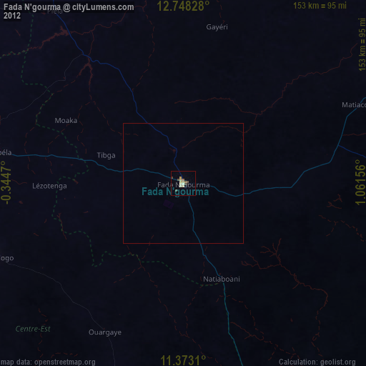
Fada N'gourma night lights from space
Night Light of Fada N'gourma (Est) from space (Burkina Faso) Src. Average luminocity for 10x10km area is 10.4483% and for 50x50km: 0.4555%.
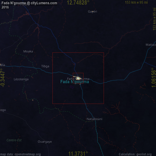
Analysis of Fada N'gourma night lights 2016
Square area 10x10 km:
 0%
0%90-99
0.83%80-89
1.03%70-79
2.48%60-69
2.27%50-59
2.89%40-49
1.24%30-39
3.1%20-29
1.24%10-19
1.45%0-9
83.47%Square area 50x50 km:
0%90-99
0.03%80-89
0.04%70-79
0.1%60-69
0.09%50-59
0.12%40-49
0.08%30-39
0.13%20-29
0.05%10-19
0.06%0-9
99.29%Clear (daylight) street map image can be seen on geolist.org.
Map coordinates:
12° 44' 53.8" North, 0° 20' 40.9" West
12° 3' 41.7" North, 0° 21' 30.3" East
11° 22' 23.2" North, 1° 3' 41.6" East
Some cities around Fada N'gourma sort by population:
• Tenkodogo
85.2 km =52.9 mi,  248°
248°
• Koupéla
78.2 km =48.6 mi,  279°
279°
• Garango
103.1 km =64.1 mi, 253°
• Zorgo
107.9 km =67 mi, 281°
• Boulsa
121.6 km =75.6 mi,  303°
303°
• Ouargaye
70.2 km =43.6 mi,  207°
207°
• Bogandé
115.1 km =71.5 mi,  331°
331°
• Pama
97.9 km =60.8 mi,  157°
157°
2360886 (p: 33,910)
Sources (retrieved 2019-11-25):
» Earth at Night: Flat Maps 2012, 2016